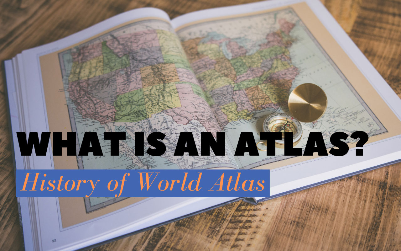
World Atlas is an assembly of various maps of the earth or a specific region of the earth, such as the U.S. or Europe. Maps in Atlas show geographical features, topography of the region’s landscape, and political boundaries. They also show the climate, social, religious and economic data of an area.
Maps which make Atlas are traditionally tied in the form of books. These are the hardcovers for reference Atlas or softcover for the referenced Atlas to serve as a travel guides or travel book. There are countless multimedia options for Atlas, and many publishers are making their maps available for personal computers and the Internet.
The History of World Atlas
To understand our world, we use of maps and cartography. It is believed that the name “Atlas” is a collection of maps, which came from the mythical Greek figure atlas. Legend says that Atlas had to be forced to capture the earth and the sky on their shoulders as a punishment from the gods. His image was often printed with maps on the books and in the end they were known as Atlas.
The first known World Atlas is linked to the Greco-Roman geographer Claudius Ptolemy. His work was the first published book called “Geographia” of, cartography, in which the knowledge of the world’s geography was involved around the second century. At that time maps and manuscripts were written by hand.
Journeys of Christopher Columbus, John Cabot and Amerigo Vespucci increased knowledge of the world’s geography in the late 1400s. A European cartographer and explorer Johannes Ruysch created a new map of the world in 1507 which became very popular. Geographia was re-printed in the Roman that year. Another version of Geographia was published in 1513 and it was linked to North and South America.
The first modern World Atlas was printed in 1570 by a Flemish cartographer and geographer Abraham Ortelius. It was called the Theatrum Orbis Terrarum, or the theater of the world. It was the first book of maps with images that were similar in size and design. The first edition included 70 different maps. Like Geographia, theater of the world was extremely popular and it was printed in several editions from 1570 to 1724.
In 1633, Henricus Hondius, a Dutch cartographer and publisher designed a decorative world map that appeared in a version of the Flemish geographer Gerard Mercator Atlas, originally published in 1595.
The works done by Ortelius and Mercator are said to represent the beginning of the golden age of Dutch cartography. This is the time when Atlas grew in popularity and became more modern. The Dutch continued to produce several volumes in the 18th century, while cartographers in other parts of Europe also started printing their works. In the second half of the 18th century, the French and the British started constructing marine maps due to an increase in sea maps and business activities.
Until the 19th century, the World Atlas began to grow very wide. They saw specific areas like cities rather than countries and / or regions of the world. With the advent of modern printing techniques, the number of published Atlas also increased. Technical advancement like Geographic Information System (GIS) has allowed modern Atlas to include thematic maps, which show different figures of a field.
Types of World Atlas
Due to the different types of data and technologies available today, there are many different types of atlas. The most common desks or reference atlas, and the travel Atlas or roadmap. Desk Atlas is hardcover or paperback, but they are made like reference books and include different types of information about the areas involved.
Reference Atlas are usually larger and include maps, tables, graphs and other images and text to describe an area. They can be made to show specific places like the world, specific countries, states or even national parks. The National Geographic Atlas of the world contains information about the whole world, which is divided into sections that discuss human world and the natural world. These sections include topics of geology, plate tectonics, biology, and political and economic geography. After that Atlas breaks the world in the continents, oceans and major cities to show the world the political and physical maps of the continents and show the countries within them. This is a very large and detailed Atlas, but it works as a perfect reference for the world with its many detailed maps, along with images, tables, graphs and text.
Yellowstone’s Atlas is similar to the world’s National Geographic Atlas but it is less comprehensive. It is also a reference atlas, but instead of examining the whole world, it sees a very specific area. Like the Big World Atlas, it includes information about the human, physical and biological of the Yellowstone area. It offers a variety of maps that show areas within and outside Yellowstone National Park.
Travel atlas and road maps are usually paperbacks and occasionally spirals are bound to make them easier to handle while traveling. They often do not include all those information that will atlas the context, but instead focus on the information that can be useful for travelers, such as the specific road or highway network, the location of the park or other tourist sites, and in some cases, the location of specific stores and / or any point of interest.
Essential World Atlas
The National Geographic Atlas of the world (United States, 1963–present) popular reference atlas for the wide variety of information that it contained about the world. Other popular references include Oxford Atlas of the World, A clear carving of urban areas across the globe and clearly populated with exiled landscapes, Atlas is packed with carefully selected scales from the cities of the cities and regions, which provides an attractive view of the surface of the Earth.
