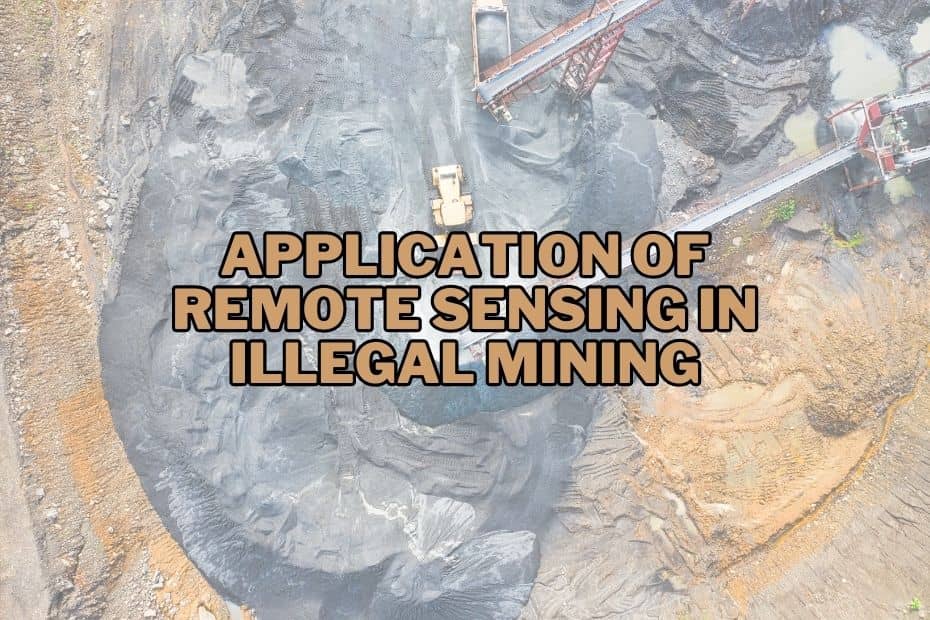
In recent years, illegal mining has become a significant challenge worldwide, leading to environmental degradation, social issues, and economic losses. Remote sensing technology has emerged as a powerful tool in combating illegal mining activities and monitoring their impact. This article explores crucial application of remote sensing in illegal mining and its associated consequences.
Remote Sensing technology enables the identification of potential illegal mining sites, allowing for timely interventions and enforcement actions. By utilizing satellite imagery and aerial surveys, authorities can efficiently monitor vast regions for any unauthorized mining operations.
Application of Remote Sensing In Illegal Mining
Mining is often a double-edged sword. While it is vital for the economy, illegal mining wreaks havoc on the environment. Remote sensing, with its watchful eye, comes to the rescue here. How, you ask? Let’s explore.
1. Identifying Illegal Mining Sites
Remote sensing plays a crucial role in identifying illegal mining sites, even in remote and densely vegetated regions. By using multispectral and hyperspectral sensors, remote sensing platforms can differentiate between natural and artificial landscapes, spotting areas altered by mining activities. Satellite imagery and aerial photography allow us to identify excavations, tailings, and other indicators of illegal mining.
2. Monitoring Land Use Changes
Illegal mining leads to significant land use changes, which can have long-lasting consequences on ecosystems. Remote sensing provides a comprehensive view of such changes over time, aiding in the assessment of environmental impacts. This data can help authorities implement mitigation measures and restoration plans.
3. Environmental Impact Assessment
Illegal mining often goes hand-in-hand with environmental degradation, including deforestation, soil erosion, and water pollution. Remote sensing technologies enable precise environmental impact assessment, allowing us to understand the extent of damage caused by illegal mining and develop targeted conservation strategies.
4. Identifying Unsafe Mining Practices
Illegal mining operations frequently bypass safety regulations, putting miners at risk and leading to hazardous conditions. Remote sensing assists in identifying unsafe mining practices, ensuring that appropriate actions are taken to protect workers and communities from potential disasters.
5. Tracking Transportation Routes
Once minerals are extracted, illegal mining operations need transportation routes to move their products to market. Remote sensing can track and monitor these routes, aiding authorities in disrupting illegal supply chains and preventing the illicit flow of minerals.
6. Monitoring Changes in Vegetation
Illegal mining can have a direct impact on vegetation, leading to deforestation and habitat loss. Remote sensing techniques, such as NDVI (Normalized Difference Vegetation Index), allow us to monitor changes in vegetation health and density, providing crucial data for conservation efforts.
7. Estimating Mineral Production
Remote sensing enables the estimation of mineral production by analyzing the extent and depth of mining sites. This information is valuable for governments and law enforcement agencies to understand the scale of illegal mining operations and address their impact.
8. Detecting Water Pollution
Illegal mining can contaminate water bodies with toxic chemicals and heavy metals. Remote sensing aids in detecting and monitoring water pollution, helping authorities take timely action to prevent further environmental damage.
9. Monitoring Ground Subsidence
Illegal mining can lead to ground subsidence, causing sinkholes and affecting infrastructure and communities. Remote sensing techniques, such as Interferometric Synthetic Aperture Radar (InSAR), can detect and monitor ground movement, enabling the identification of potential hazards.
10. Identifying Abandoned Mines
Remote sensing is instrumental in identifying abandoned mines, which can pose environmental and safety risks. By identifying these sites, authorities can implement remediation measures and prevent further harm.
11. Monitoring Legal Mining Sites
Remote sensing is not limited to detecting illegal activities. It also serves as a valuable tool for monitoring legal mining operations, ensuring compliance with environmental regulations and promoting responsible mining practices.
12. Identifying Encroachment on Protected Areas
Illegal mining often occurs in protected areas, threatening biodiversity and fragile ecosystems. Remote sensing helps identify encroachments and supports conservation efforts in safeguarding these vital areas.
13. Assessing Soil Degradation
Illegal mining can lead to soil degradation and loss of fertile land. Remote sensing assists in assessing soil health and identifying areas in need of remediation to restore their productivity.
14. Supporting Law Enforcement
Remote sensing technology empowers law enforcement agencies to gather actionable intelligence and evidence against illegal mining operators. This helps in building strong cases and prosecuting offenders.
15. Disaster Monitoring and Management
Remote sensing aids in disaster monitoring and management by providing real-time data on mining-related accidents or environmental emergencies. This information allows for prompt responses and better crisis management.
Conclusion
Remote sensing technology has revolutionized the fight against illegal mining. From identifying mining sites to monitoring environmental impacts and supporting law enforcement, its applications are diverse and vital. By harnessing the power of remote sensing, we can protect our environment, conserve natural resources, and build a sustainable future.
FAQs: Application of Remote Sensing In Illegal Mining
Can remote sensing detect underground mining activities?
While remote sensing primarily focuses on surface features, some techniques can indirectly identify underground mining activities by analyzing ground subsidence patterns.
How accurate are the estimations of mineral production through remote sensing?
The accuracy of mineral production estimations depends on data quality and processing methods. Advanced remote sensing techniques can provide reasonably accurate results.
Is remote sensing expensive to implement for combating illegal mining?
While initial setup costs can be significant, remote sensing proves cost-effective in the long run by enabling targeted interventions and preventing environmental damages.
Can remote sensing identify the specific minerals being extracted illegally?
Remote sensing can detect land disturbances and changes but may not identify specific minerals. Ground validation is often required for accurate identification.
