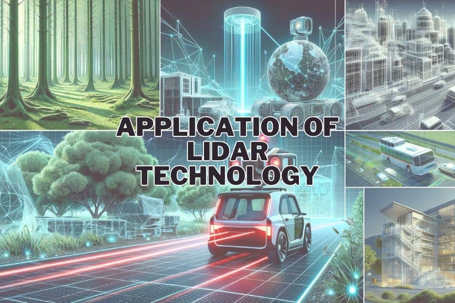
LiDAR, or Light Detection and Ranging, is a cutting-edge technology that has revolutionized various industries with its precision and versatility. In this comprehensive guide, we’ll delve into key application of LiDAR technology, showcasing how it’s transforming the world around us.
LiDAR utilized for geospatial mapping, urban planning, archaeological explorations, precision agriculture, atmospheric research, disaster management, infrastructure inspection, and historical preservation. This innovative technology offers precise, real-time data crucial for advancements in these sectors.
Fundamentals of LiDAR
At its core, LiDAR operates by emitting light pulses and measuring the time taken for these pulses to return after hitting an object. This simple yet powerful principle relies on key components like lasers, scanners, and specialized GPS receivers. The data collected is then used to create detailed 3D models of the surveyed area.
Application of Lidar Technology
Light Detection and Ranging (LiDAR) technology has revolutionized various fields, offering precision and efficiency. Let’s delve into its diverse applications:
1. Geospatial Mapping
LiDAR is instrumental in geospatial mapping, providing high-resolution 3D maps. It captures terrain details with remarkable accuracy, essential for urban planning, environmental studies, and infrastructure development. Airborne LiDAR, with its ability to penetrate vegetation, is particularly effective in mapping forested or inaccessible areas. This technology ensures detailed and accurate topographic data, crucial for various planning and analysis tasks.
2. Archaeology
In archaeology, LiDAR’s ability to reveal hidden structures under dense vegetation has led to groundbreaking discoveries. It has uncovered ancient cities, road networks, and structures, providing invaluable insights into past civilizations. LiDAR’s non-intrusive nature makes it an ideal tool for preserving historical sites while exploring them. This technology is reshaping our understanding of history and heritage.
3. Autonomous Vehicles
LiDAR is a cornerstone technology for autonomous vehicles. It provides real-time, 3D mapping of the vehicle’s surroundings, essential for safe navigation. LiDAR sensors offer precision in object detection and distance measurement, making them vital for developing reliable self-driving cars. This technology’s accuracy and reliability are propelling the automotive industry towards a future of autonomous mobility.
4. Agriculture
In agriculture, LiDAR supports precision farming. It maps fields, analyzing soil and crop conditions, which aids in effective resource management. This technology assists in optimizing irrigation, fertilization, and harvesting processes, leading to increased productivity and sustainability in agricultural practices.
5. Forestry Management
LiDAR’s detailed 3D mapping is a boon for forestry management. It accurately assesses forest biomass, canopy structure, and terrain, aiding in sustainable management practices. This technology supports conservation efforts, helping monitor and protect forests, and plays a critical role in understanding and combating climate change.
6. Urban Planning
Urban planning benefits immensely from LiDAR technology. It helps in designing efficient and sustainable urban spaces, considering topography, infrastructure, and environmental factors. LiDAR data assists in flood risk assessment, urban sprawl analysis, and transportation planning, making cities safer and more livable.
7. Disaster Management
In disaster management, LiDAR’s accurate terrain mapping is crucial. It aids in risk assessment, disaster preparation, and response planning. Post-disaster, LiDAR helps in damage assessment and rebuilding efforts, proving invaluable in enhancing resilience against natural calamities.
8. Atmospheric Research
LiDAR plays a vital role in atmospheric research. It measures atmospheric parameters like aerosols and cloud particles, contributing to climate modeling and weather forecasting. This technology enhances our understanding of atmospheric processes and their impact on climate change.
9. Renewable Energy Projects
In renewable energy projects, LiDAR assists in site selection, particularly for wind and solar farms. It analyzes terrain and wind patterns, ensuring optimal placement of turbines and panels. This technology supports the growth of renewable energy, contributing to a sustainable energy future.
10. Military and Defense
LiDAR technology is crucial in military and defense for reconnaissance and surveillance. It provides detailed terrain analysis, aiding in strategic planning and operations. LiDAR’s precision enhances situational awareness, offering a significant advantage in various military applications.
11. Mining and Geology
In mining and geology, LiDAR facilitates mineral exploration and terrain analysis. It helps in assessing geological formations, hazard identification, and mine planning. This technology ensures safer and more efficient mining operations.
12. Infrastructure and Construction
LiDAR revolutionizes infrastructure and construction. It aids in planning, design, and monitoring of construction projects. The technology’s precision and speed streamline the construction process, ensuring accuracy and reducing project timelines.
Conclusion
LiDAR technology has proven its versatility across various fields, from mapping and archaeology to urban planning and disaster management. Its ability to provide detailed and accurate 3D data is transforming industries, making processes more efficient and sustainable. As technology advances, the potential applications of LiDAR are bound to expand, paving the way for even more innovative uses.
FAQs: Application of LiDAR Technology
How is LiDAR used in autonomous vehicles?
LiDAR sensors in autonomous vehicles provide real-time, 3D information about the surroundings, essential for navigation and obstacle detection, thereby ensuring safety on the road.
Is LiDAR beneficial for environmental research?
Absolutely, LiDAR is instrumental in environmental research, particularly in climate change studies and monitoring atmospheric conditions.
How does LiDAR benefit urban planning?
LiDAR aids in urban planning by providing accurate topographical data, aiding in flood risk assessment, and helping design efficient urban spaces.
How does LiDAR contribute to renewable energy projects?
LiDAR assists in renewable energy projects by analyzing terrain and wind patterns for optimal placement of wind turbines and solar panels.
