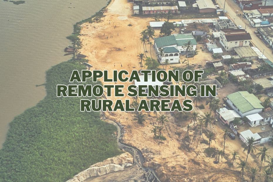
Remote sensing technology has emerged as a transformative tool in rural development. It offers a unique vantage point to observe and manage various aspects of rural life, from agriculture and forestry to disaster management and community engagement. This article delves into the diverse application of remote sensing in rural areas, highlighting its impact on enhancing efficiency, sustainability, and resilience.
The application of remote sensing in rural areas is multifaceted, significantly enhancing agricultural efficiency, environmental monitoring, and disaster management. This technology provides vital data for precision farming, forest conservation, and water resource management, aiding in sustainable rural development and community resilience against environmental challenges.
Application of Remote Sensing In Rural Areas
Remote sensing technology, a powerful tool for observing Earth from a distance, has become increasingly vital for rural area management. It uses satellites or high-flying aircraft to collect information about the land, offering insights that are invaluable for various applications.
1. Agriculture
Remote sensing has revolutionized agriculture in rural areas. Through satellite imagery and aerial photography, farmers and agronomists can monitor crop health, assess soil conditions, and optimize irrigation practices. Precision agriculture, enabled by remote sensing, allows for targeted interventions, reducing waste and increasing crop yields. This technology also aids in pest control and disease management, ensuring sustainable agricultural practices.
2. Forestry
In forestry, remote sensing plays a crucial role in monitoring forest health, mapping tree species distribution, and assessing biomass. It enables the early detection of deforestation activities and helps in planning reforestation efforts. The technology also assists in wildfire management, allowing for timely interventions to prevent large-scale forest destruction.
3. Water Resource Management
Remote sensing is vital in managing water resources in rural areas. It helps in mapping water bodies, assessing water quality, and monitoring changes in water levels. This technology supports the efficient allocation of water resources for agriculture, drinking, and sanitation purposes, crucial in regions facing water scarcity.
4. Land Use and Land Cover Mapping
Land use and land cover mapping through remote sensing provide valuable data for planning and development activities. It assists in identifying suitable land for agriculture, housing, and infrastructure projects. This technology also helps in monitoring environmental changes, such as desertification or land degradation.
5. Infrastructure Planning and Development
Remote sensing aids in infrastructure planning and development in rural areas. It provides detailed geographical data necessary for constructing roads, bridges, and public facilities. This technology also supports the planning of electrical grids and telecommunications networks, essential for rural development.
6. Disaster Management
In disaster management, remote sensing offers real-time data for effective response and recovery efforts. It helps in predicting natural disasters like floods and cyclones, enabling timely evacuation and resource allocation. Post-disaster, remote sensing aids in damage assessment and coordinating rehabilitation efforts.
7. Environmental Monitoring
Environmental monitoring through remote sensing is crucial for preserving rural ecosystems. It assists in tracking changes in land use, detecting pollution, and monitoring wildlife habitats. This technology plays a key role in climate change research, offering insights into global warming impacts on rural environments.
8. Public Health
Remote sensing contributes to public health in rural areas by mapping disease outbreaks and identifying risk factors. It aids in planning healthcare facilities and emergency response services, especially in remote or inaccessible regions.
9. Education and Research
Education and research benefit from remote sensing by providing data for academic studies and practical training. It enhances the understanding of geographical and environmental sciences, promoting innovation in rural development strategies.
10. Community Engagement
Remote sensing fosters community engagement by involving local populations in data collection and analysis. It empowers communities to participate in decision-making processes, ensuring that development initiatives align with their needs and aspirations.
Conclusion
Remote sensing technology has become indispensable in rural development. Its wide-ranging applications offer solutions to some of the most pressing challenges faced by rural communities. From improving agricultural practices to managing natural resources and mitigating disasters, remote sensing is a cornerstone of sustainable rural development.
FAQs: Application of Remote Sensing In Rural Areas
How does remote sensing benefit agriculture in rural areas?
Remote sensing aids in monitoring crop health, optimizing irrigation, and managing pests, leading to increased yields and sustainable farming practices.
What role does remote sensing play in forestry management?
It assists in monitoring forest health, mapping tree species, and managing wildfires, crucial for forest conservation.
Can remote sensing help in disaster management?
Yes, it provides real-time data for predicting and responding to natural disasters, aiding in timely evacuations and recovery efforts.
How does remote sensing contribute to environmental monitoring?
It tracks land use changes, pollution levels, and wildlife habitats, offering valuable insights for environmental preservation.
Is remote sensing accessible to local communities in rural areas?
Increasingly, yes. Remote sensing data is becoming more accessible, enabling community engagement in rural development projects.
