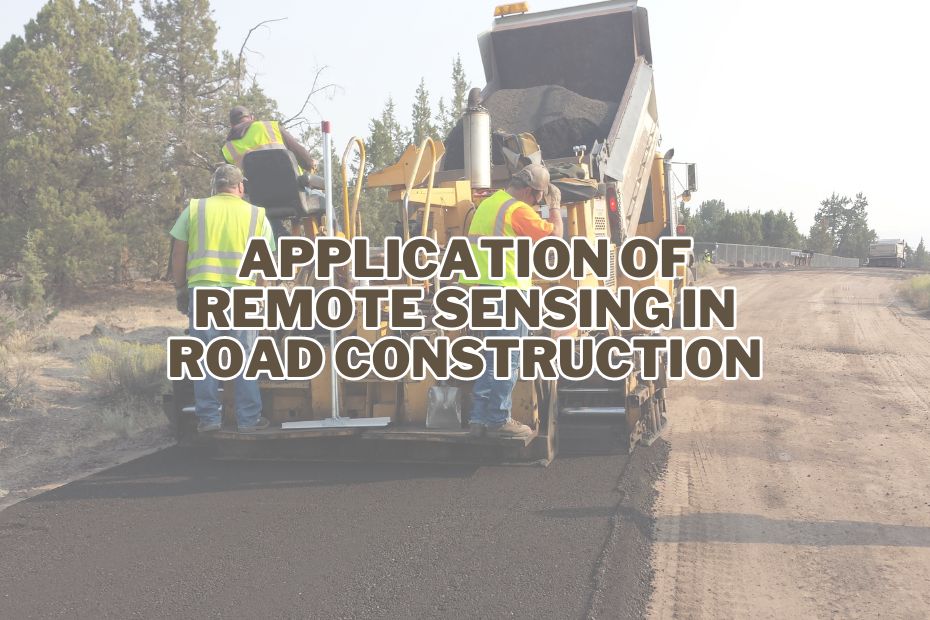
In the world of modern construction, technological advancements have revolutionized the way we build infrastructure. One such groundbreaking technology is remote sensing, which has found numerous applications in road construction. In this article, we will explore fascinating application of remote sensing in road construction, shedding light on how this technology is transforming the industry.
Remote sensing in road construction involves using satellite imagery and aerial data to assess site suitability, create precise terrain maps, monitor environmental impact, and enhance safety.
Application of Remote Sensing In Road Construction
From initial site selection to continuous maintenance, the advanced techniques of remote sensing have transformed road construction methodologies. Offering real-time, precise data, remote sensing facilitates the construction of safer and more sustainable roads. Let’s explore its varied applications in this domain.
1. Site Selection and Evaluation
One of the crucial initial steps in road construction is site selection and evaluation. Remote sensing, through satellite imagery and aerial photography, provides invaluable insights into topography, land use, and environmental conditions. By analyzing this data, engineers can identify optimal routes that minimize environmental impact and construction challenges. This not only saves costs but also ensures the sustainability of road projects.
2. Terrain Mapping and Analysis
Remote sensing facilitates detailed terrain mapping and analysis, allowing engineers to understand the landscape’s characteristics thoroughly. LiDAR (Light Detection and Ranging) technology, often mounted on aircraft, provides high-resolution elevation data. This information is instrumental in designing road alignments that are safe and resilient to natural hazards such as landslides and floods.
3. Environmental Impact Assessment
Ensuring minimal environmental impact is a paramount concern in road construction. Remote sensing aids in conducting comprehensive environmental impact assessments. It helps identify ecologically sensitive areas, potential habitat disruptions, and water bodies that need protection. By proactively addressing these concerns, road construction projects can adhere to environmental regulations and reduce their ecological footprint.
4. Surveying and Geospatial Data
Accurate surveying is essential in road construction. Remote sensing technologies like GPS and GIS (Geographic Information Systems) enable precise data collection and geospatial mapping. This data is used for creating detailed project plans, aligning road corridors, and ensuring that the construction adheres to property boundaries.
5. Soil Composition Assessment
Understanding the soil composition at the construction site is crucial for road stability. Remote sensing can assess soil properties and detect variations in soil types. This information helps engineers make informed decisions about the choice of construction materials and foundation design, reducing the risk of road failures.
6. Traffic Monitoring and Management
Remote sensing plays a pivotal role in traffic monitoring and management during road construction. Sensors and cameras can be deployed to collect real-time traffic data, ensuring the safety of both workers and commuters. Advanced systems can even predict traffic congestion and optimize detour routes.
7. Materials Quality Control
Maintaining the quality of construction materials is essential for road longevity. Remote sensing can be used to monitor the quality of materials like asphalt and concrete. By analyzing data from sensors, engineers can detect defects early and take corrective actions, preventing costly rework.
8. Vegetation Management
Managing vegetation around construction sites is vital for safety and environmental preservation. Remote sensing helps identify areas where vegetation needs to be cleared or preserved. This information guides the construction process, minimizing disruptions to the ecosystem.
9. Erosion and Drainage Monitoring
Preventing erosion and managing drainage are essential for road construction in hilly or rainy regions. Remote sensing aids in monitoring erosion-prone areas and assessing drainage systems’ efficiency. This proactive approach minimizes erosion-related damage and maintenance costs.
10. Safety and Risk Assessment
Safety is a paramount concern in road construction. Remote sensing technologies, including drones and surveillance cameras, enhance safety monitoring. They provide real-time data on construction site conditions, enabling swift response to potential hazards.
11. Construction Progress Monitoring
Tracking construction progress is vital to ensure projects stay on schedule and budget. Remote sensing tools like drones can capture high-resolution images of construction sites regularly. These images help project managers monitor progress, identify bottlenecks, and make informed decisions.
12. Maintenance and Rehabilitation
Remote sensing is not limited to the construction phase but extends to road maintenance and rehabilitation. It aids in detecting cracks, potholes, and signs of wear and tear. By identifying maintenance needs early, authorities can prolong road lifespans and reduce repair costs.
Conclusion:
In conclusion, remote sensing technology has revolutionized road construction by offering a suite of applications that enhance efficiency, sustainability, and safety throughout the project lifecycle. From site selection to maintenance, the integration of remote sensing tools empowers engineers and project managers to make informed decisions, reduce environmental impact, and deliver high-quality road networks that benefit communities and economies.
FAQs: Application of Remote Sensing In Road Construction
What is remote sensing in road construction?
Remote sensing in road construction refers to the use of satellite and aerial imagery, LiDAR, and other remote sensing technologies to gather data about the earth’s surface, which is then utilized for planning, designing, and monitoring road construction projects.
How does remote sensing aid in terrain mapping?
It provides detailed terrain maps using satellite imagery, aiding in optimal road alignment and construction planning.
Can remote sensing detect road quality issues?
Yes, techniques like infrared imaging can identify wear and tear, assisting in maintenance efforts.
Is environmental impact assessment possible with remote sensing?
Absolutely, it helps in understanding potential risks to the environment, ensuring sustainable road construction.
How does remote sensing assist in traffic management?
Post-construction, it monitors traffic patterns, aiding in effective traffic management and congestion reduction.
How does remote sensing aid in geotechnical investigations for road construction?
It helps identify soil types, geological conditions, and potential hazards like landslides or sinkholes, ensuring that road construction can account for and mitigate these challenges.
