9+ Application of Remote Sensing In Wetland Management
Wetlands are vital ecosystems that play a crucial role in maintaining environmental balance. They are home to diverse flora and… Read More »9+ Application of Remote Sensing In Wetland Management
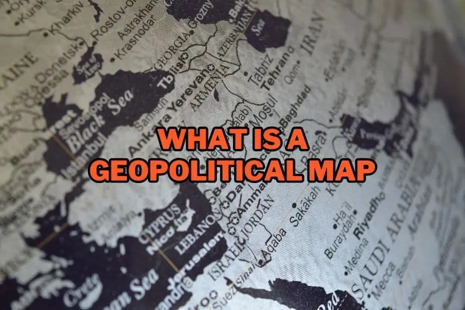
A geopolitical map is a type of map that displays political boundaries and territorial borders of countries, regions, or continents.… Read More »What Is A Geopolitical Map: A Comprehensive Guide
In today’s ever-evolving technological landscape, the role of remote sensing in vulnerability management has become increasingly vital. As organizations strive… Read More »Enhancing Security: 11+ Application of Remote Sensing In Vulnerability Management
Volcanoes, with their awe-inspiring eruptions and geological significance, have long captivated our imaginations. However, they also pose significant risks to… Read More »11+ Application of Remote Sensing In Volcanic Activity
In the modern world, remote sensing has revolutionized the way we study and analyze vegetation. With its ability to capture… Read More »11+ Application of Remote Sensing In Vegetation Analysis: Unlocking the Potential
Urban heat islands (UHIs) are areas within cities that experience significantly higher temperatures than their surrounding rural areas. The phenomenon… Read More »11+ Application of Remote Sensing In Urban Heat Islands
In an era defined by rapid urbanization, the effective management and planning of urban areas have become paramount. Cities are… Read More »11+ Application of Remote Sensing In Urban Growth
In today’s fast-paced world, urban planning and development have become critical factors in shaping the future of our cities. To… Read More »11+ Application of Remote Sensing In Urban Planning and Development
Maps have been used for centuries to represent geographical areas and provide navigation guidance. They have evolved from simple hand-drawn… Read More »What is a General Purpose Map? Exploring the Types, Uses, and Applications
Technological advancements have paved the way for more systematic and data-driven approaches in analyzing and managing urban development. In this… Read More »11+ Application of Remote Sensing In Urban Sprawl Analysis