When studying geography, geology, or cartography, you might come across the terms geoid and ellipsoid. Although these two concepts might seem similar, they represent different things. In this article, we will explore the difference between geoid and ellipsoid.
The geoid takes into account the Earth’s irregularities and is used as a reference surface for measuring elevations and for determining the Earth’s gravity field. The ellipsoid is a smooth, symmetric surface that approximates the shape of the Earth and is used as a reference surface for mapping and surveying.
What is Geoid?
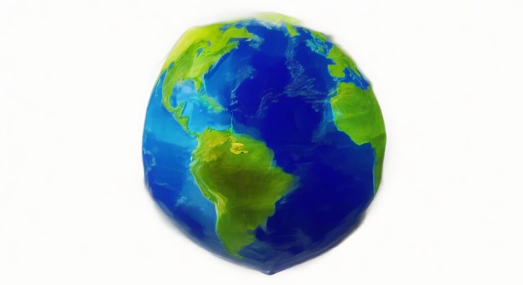
The geoid is the shape that the Earth would take if the oceans were at rest, and the Earth’s gravity field was the only force acting upon it. In simpler terms, the geoid is a hypothetical surface that represents the Earth’s mean sea level if the ocean were to cover the entire Earth uniformly, and if there were no winds or currents.

The geoid is often considered to be the true shape of the Earth because it takes into account the Earth’s irregularities, such as mountains, valleys, and the distribution of mass in the Earth’s interior. The geoid is used as a reference surface for measuring elevations and for determining the Earth’s gravity field.
READ MORE: What is Geoid In Geography
Applications of Geoid:
The geoid is used in various fields, including geodesy, surveying, and satellite positioning. Some of the key applications of the geoid are:
- Measuring elevations: The geoid is used as a reference surface for measuring elevations. Elevations are measured relative to the geoid, and this information is used for mapping and surveying.
- Determining the Earth’s gravity field: The geoid is used to determine the Earth’s gravity field, which is essential for many applications, such as satellite positioning, oceanography, and geophysics.
- Satellite positioning: The geoid is used in satellite positioning to calculate the satellite’s precise location relative to the Earth’s surface. By combining data from the satellite’s orbit and the geoid, scientists can accurately determine the location of the satellite and its velocity.
- Oceanography: The geoid is used in oceanography to measure the shape and height of the ocean surface, which provides valuable information for understanding ocean currents, tides, and the Earth’s climate.
What is Ellipsoid?
The ellipsoid, also known as a spheroid, is a mathematical surface that approximates the shape of the Earth. It is a smooth, symmetric surface that is defined by an equation that can be expressed in terms of the Earth’s equatorial radius, polar radius, and flattening.
The ellipsoid is a useful reference surface for many applications because it is easy to model mathematically and provides a simple, smooth surface for calculating distances, areas, and volumes. The ellipsoid is often used as a reference surface for mapping and surveying.
Applications of Ellipsoid:
The ellipsoid is used in various fields, including surveying, mapping, and engineering. Some of the key applications of the ellipsoid are:
- Mapping and surveying: The ellipsoid is used as a reference surface for mapping and surveying. It provides a smooth, symmetric surface that simplifies calculations of distances, areas, and volumes.
- Navigation: The ellipsoid is used in navigation systems, such as GPS, to calculate precise locations on the Earth’s surface.
- Engineering and construction: The ellipsoid is used in engineering and construction projects to calculate the position of structures and to ensure that they are built in the correct location.
Difference Between Geoid and Ellipsoid (Geoid Vs. Ellipsoid)
Now that we have a basic understanding of what Geoid and Ellipsoid are, let’s take a look at some key differences between the Geoid and Ellipsoid:
- Shape: The geoid is an irregular surface that takes into account the Earth’s surface features and mass distribution, whereas the ellipsoid is a smooth, symmetric surface that approximates the shape of the Earth.
- Reference Surface: The geoid is used as a reference surface for measuring elevations and for determining the Earth’s gravity field, whereas the ellipsoid is used as a reference surface for mapping and surveying.
- Mathematical Model: The geoid is not a mathematical surface, and its shape is not easy to model mathematically. On the other hand, the ellipsoid is a mathematical surface that can be defined by a simple equation.
- Application: The geoid is used for measuring elevations and for determining the Earth’s gravity field, which is essential for many applications, such as satellite positioning and geodesy. The ellipsoid is used for mapping and surveying, which is essential for many engineering and construction projects.
Geoid vs Ellipsoid
Comparison Chart of Geoid Vs. Ellipsoid:
Type/Feature | Geoid | Ellipsoid |
Shape | Represents the actual shape of the Earth's surface when all the effects of the irregular distribution of mass inside the planet are taken into account | Is an idealized model of the Earth's surface that assumes the planet is perfectly smooth and homogeneous |
Measurement | Represents a physically measurable quantity | Is a mathematical construct |
Determination | Determined by measuring the Earth's gravity field | Defined by mathematical equations |
Deviation | Deviates from the ellipsoid by up to 100 meters in some places | Assumes a perfect sphere |
Change | Changes over time as the mass distribution inside the Earth changes | Does not change over time |
Application | Used in oceanography, geodesy, and satellite altimetry | Used in cartography and navigation |
Accuracy | More accurate than the ellipsoid when it comes to measuring the Earth's surface | Less accurate than the geoid when it comes to measuring the Earth's surface |
Complexity | More complex and difficult to work with | Simpler and easier to work with |
Gravity Field | Takes into account the variations in the Earth's gravity field caused by the mass distribution inside the planet | Assumes that the Earth's gravity field is perfectly uniform |
Geoid vs. Ellipsoid: Which One to Use?
The choice between using the geoid or the ellipsoid depends on the application. If the goal is to measure the height or depth of the Earth’s surface with high accuracy, then the geoid should be used. If the goal is to create maps or navigate on the Earth’s surface, then the ellipsoid should be used.
It’s important to note that both the geoid and the ellipsoid are just models of the Earth’s surface, and they both have limitations. The Earth’s surface is complex and irregular, and no model can represent it perfectly. Therefore, it’s important to understand the strengths and limitations of each model and choose the one that is most appropriate for the task at hand.
Conclusion: Difference Between Geoid and Ellipsoid
In conclusion, the geoid and ellipsoid are two models used to represent the shape of the Earth’s surface. The geoid represents the shape of the Earth’s surface when all the effects of the irregular distribution of mass inside the planet are taken into account, while the ellipsoid is an idealized model that assumes the planet is perfectly smooth and homogeneous. The choice between using the geoid or the ellipsoid depends on the application, and it’s important to understand the strengths and limitations of each model.
FAQs: Geoid vs. Ellipsoid
Can the geoid be seen from space?
No, the geoid cannot be seen from space as it is a hypothetical surface that represents the Earth’s mean sea level if the ocean were to cover the entire Earth uniformly.
What is the difference between the geoid and the mean sea level?
The geoid represents the Earth’s mean sea level if the ocean were to cover the entire Earth uniformly and there were no winds or currents, whereas mean sea level is the average height of the ocean surface over a period of time.
How is the ellipsoid calculated?
The ellipsoid is calculated using an equation that can be expressed in terms of the Earth’s equatorial radius, polar radius, and flattening.
