
How To Get My Business On Google Maps Free? – 5 STEPS
The easiest way to get your business on Google Maps is to use Google My Business. Find out How to… Read More »How To Get My Business On Google Maps Free? – 5 STEPS
The easiest way to get your business on Google Maps is to use Google My Business. Find out How to… Read More »How To Get My Business On Google Maps Free? – 5 STEPS
Remote sensing is a technique of measuring Earth surface features from a distance. It is used in, but not limited… Read More »What is Remote Sensing? Uncovering a Buried Treasure
Finding the perfect geography job has never been easy, but now that technology is starting to make its way into… Read More »GIS As A Career: Is it right for you?
KML files used to visualize spatial data by storing locations, image overlays and modelling information like lines, shapes. 3D images… Read More »Visualize Spatial Data With KML

Geographical features are often stored in Raster and in Vector format. There are numerous formats available for both raster and… Read More »List of Common GIS File Formats: A Comprehensive Guide
Google Earth is a Geo Browser that represents the Earth in 3D, based on the satellite and aerial imagery. It… Read More »Take a Virtual Tour of Earth Using Google Earth
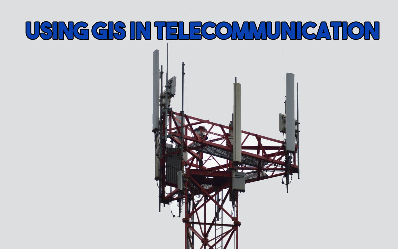
Unlike, the earlier basic requirements, telecommunication has so much to do with technology. Telecommunications companies have begun to recognize that… Read More »GIS For Telecommunication: How It Can Improve Your Business
The GPS and DGPS both are the satellite-based navigation systems. The fundamental distinction between GPS and DGPS lies in their… Read More »Difference Between GPS and DGPS
Lots of GIS application are available in the market but still, there is a lot of demand for GRASS GIS,… Read More »GRASS GIS – Geographic Resources Analysis Support System
It is a spatial database extension to PostgreSQL Database, which allows Geographic Information Systems objects to be stored in the… Read More »What Is PostGIS-PostgreSQL?