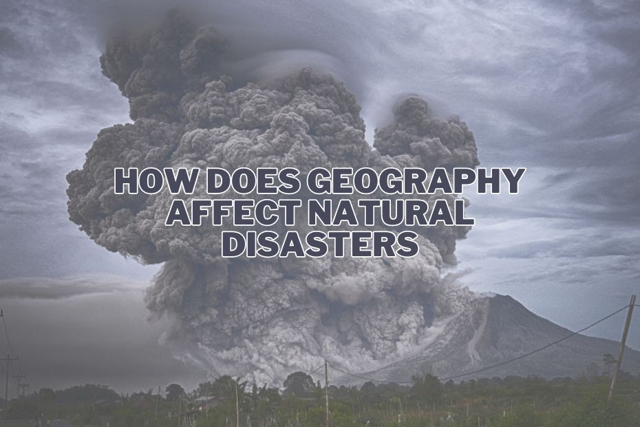
Natural disasters are a terrifying force of nature that can wreak havoc on communities around the world. These catastrophic events, ranging from earthquakes and hurricanes to wildfires and floods, often leave behind a trail of destruction and human suffering. In this article, we will delve into the intricate relationship between geography and natural disasters, exploring how does geography affect natural disasters.
Geography significantly impacts natural disasters. Coastal regions face higher risks of hurricanes and flooding, while mountainous areas are prone to landslides and avalanches. Tectonic plate boundaries increase earthquake risks. Understanding these geographical factors is crucial for disaster preparedness.
How Does Geography Affect Natural Disasters?
Natural disasters have been a part of our planet’s history for millennia, and they continue to shape our world today. But why do some regions experience more frequent and devastating disasters than others? The answer lies in the geography of these areas, as geography serves as the backdrop upon which natural disasters unfold.
The Role of Topography
1. Mountains and Valleys
The topography of a region plays a pivotal role in determining its vulnerability to certain types of natural disasters. Mountainous regions are more susceptible to landslides and avalanches due to their steep slopes. Conversely, valleys can become traps for floodwaters, making them prone to catastrophic flooding during heavy rains or snowmelt.
2. Coastal Areas
Coastal areas, with their proximity to oceans and seas, are at a heightened risk of experiencing hurricanes, storm surges, and tsunamis. The flat terrain near the coastlines allows for the easy inundation of water during these events, causing widespread damage to both property and human lives.
Climate and Natural Disasters
3. Arid Regions
Arid regions, characterized by low precipitation and scorching temperatures, are often plagued by droughts and wildfires. The lack of water resources and the presence of dry vegetation make these areas particularly vulnerable to the devastating effects of wildfires.
4. Tornado Alley
Certain areas, such as the infamous Tornado Alley in the United States, are prone to the formation of tornadoes due to specific climatic conditions. The convergence of warm, moist air from the Gulf of Mexico and cold, dry air from the Rocky Mountains creates the perfect environment for tornadoes to develop.
Plate Tectonics and Earthquakes
5. The Pacific Ring of Fire
The Earth’s tectonic plates are constantly shifting, leading to seismic activity in various parts of the world. The Pacific Ring of Fire, encircling the Pacific Ocean, is notorious for its high frequency of earthquakes and volcanic eruptions. This geological phenomenon is a result of the collision and subduction of tectonic plates.
6. Fault Lines
Regions situated near fault lines, such as the San Andreas Fault in California, are at significant risk of experiencing earthquakes. The movement of these fault lines can lead to catastrophic seismic events that can cause widespread destruction.
To further explore the diverse aspects of geography and its influence on our lives, you can read about how geography affects the way we live.
Human Factors and Geography
7. Urbanization
The way communities are built and organized can also influence the impact of natural disasters. Urban areas with dense populations and inadequate infrastructure are more susceptible to casualties and property damage during disasters.
8. Deforestation
Deforestation, often driven by human activities, can exacerbate the effects of natural disasters. Without tree cover to absorb rainwater and stabilize soil, regions become more prone to landslides and floods.
Geography’s Role in Disaster Mitigation and Recovery
Mitigation Strategies
Geographic information systems (GIS) and other spatial tools are instrumental in formulating effective disaster mitigation strategies. By analyzing geographical data, authorities can identify vulnerable areas, plan evacuation routes, and design infrastructure resilient to specific natural disasters. This approach is crucial in minimizing the impact of such events on human life and property.
Recovery Efforts
Post-disaster recovery is also heavily influenced by geography. The process of rebuilding and rehabilitation varies significantly depending on the geographic characteristics of the affected area. Recovery efforts in urban areas might focus on rebuilding infrastructure and restoring services, while rural areas might require different approaches, such as restoring agricultural land.
To understand the relationship between human activities and geography, consider exploring different branches of human geography.
Conclusion
Geography is undeniably a pivotal factor in determining how natural disasters unfold and their subsequent impact on communities. Whether it’s the topography, climate, or human factors, geographical features play a vital role in shaping the vulnerability of an area. Understanding these relationships is essential for disaster preparedness and response.
FAQs: How Does Geography Affect Natural Disasters?
Can we predict natural disasters based on geography?
Predicting the exact timing and magnitude of natural disasters remains challenging, but understanding the geographical factors that increase risk is crucial for preparedness.
Are there regions that are entirely safe from natural disasters?
No region is entirely immune to natural disasters, but some areas have lower risks than others. It’s essential to be prepared regardless of where you live.
How can individuals prepare for natural disasters?
Individuals can prepare by creating emergency plans, having disaster kits, and staying informed about local risks and evacuation procedures.
What role does climate change play in exacerbating natural disasters?
Climate change can intensify certain types of natural disasters, such as hurricanes and wildfires, making them more frequent and severe.
