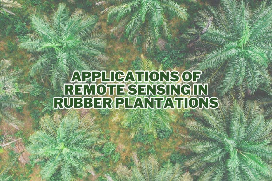
Rubber plantations have long been a vital source of natural rubber, contributing significantly to various industries worldwide. However, managing rubber plantations efficiently and sustainably poses numerous challenges. This is where remote sensing technology comes into play, offering groundbreaking solutions for rubber plantation mapping, monitoring, and management. In this comprehensive guide, we’ll delve into the myriad application of remote sensing in rubber plantations and explore how this technology is transforming the rubber industry.
The application of remote sensing in rubber plantations enables precise mapping, monitoring of plantation health, change detection, disease surveillance, and yield estimation, significantly optimizing plantation management and productivity.
Application of Remote Sensing In Rubber Plantation
Rubber plantations are vital for the global rubber industry, and their efficient management is crucial. Remote sensing technology offers a wide range of applications to enhance rubber plantation operations.
1. Rubber Plantation Mapping and Monitoring
One of the primary applications of remote sensing in rubber plantations is mapping and monitoring. Satellite imagery and aerial photography provide invaluable data for plantation managers. These tools allow for accurate identification of rubber tree locations, plantation boundaries, and land use patterns. Continuous monitoring helps assess the health and growth of rubber trees, detect any anomalies, and plan for necessary interventions.
2. Change Detection
Change detection using remote sensing is crucial for rubber plantation management. By comparing historical and current satellite images, plantation managers can identify changes in land cover, vegetation health, and infrastructure. This aids in detecting illegal logging, encroachments, and disease outbreaks promptly.
3. Stand Age Estimation
Determining the age of rubber stands is essential for optimizing harvesting schedules and planning plantation rejuvenation. Remote sensing techniques, such as LiDAR (Light Detection and Ranging), can accurately estimate stand age, enabling better management decisions.
4. Carbon and Biomass Assessment
Managing carbon sequestration and assessing biomass are vital for sustainable rubber cultivation. Remote sensing helps estimate carbon stocks and assess biomass, contributing to carbon trading initiatives and sustainable land management practices.
5. Leaf Area Index (LAI) Prediction
Leaf Area Index (LAI) is a critical parameter for understanding the photosynthetic capacity of rubber trees. Remote sensing tools can predict LAI, enabling precise irrigation and fertilization strategies to maximize rubber yield.
6. Disease Detection
Early detection of diseases in rubber trees is crucial to prevent widespread outbreaks. Remote sensing can identify stress signals in plantations, enabling timely disease management and minimizing yield losses.
7. Yield Estimation
Accurate yield estimation is essential for market planning and resource allocation. Remote sensing data, combined with machine learning algorithms, can provide real-time yield predictions, allowing plantation managers to make informed decisions.
8. Pest and Weed Management
Remote sensing technology aids in pest and weed management by identifying areas with high pest infestations or weed growth. This allows for targeted interventions, reducing the need for widespread pesticide use.
9. Rubber Quality Assessment
The quality of rubber produced is a key factor in the rubber industry. Remote sensing can assess rubber tree health and the latex content, contributing to better quality control and improved product outcomes.
10. Water Stress Detection
Rubber trees require specific water conditions for optimal growth. Remote sensing helps detect water stress in plantations, guiding efficient irrigation practices and conserving water resources.
11. Fertilizer Management
Optimizing fertilizer use is crucial for sustainable rubber cultivation. Remote sensing data can provide insights into soil nutrient levels, allowing for precise fertilizer application and reducing environmental impacts.
12. Environmental Impact Assessment
Sustainable rubber cultivation involves minimizing environmental impacts. Remote sensing facilitates the assessment of deforestation, soil erosion, and other environmental changes, helping plantation managers implement responsible land management practices.
13. Socio-Economic Impact Assessment
Understanding the socio-economic impact of rubber plantations on local communities is essential. Remote sensing can aid in assessing land use changes, population dynamics, and economic development in the vicinity of rubber plantations.
Conclusion
Remote sensing technology is revolutionizing the way rubber plantations are managed and monitored. From mapping and monitoring to disease detection and environmental impact assessment, the applications of remote sensing in the rubber industry are vast and transformative. By harnessing the power of satellite imagery, aerial photography, and advanced data analysis, rubber plantation managers can make informed decisions, enhance productivity, and contribute to sustainable rubber production.
FAQs: Application of Remote Sensing In Rubber Plantation
How can remote sensing be used in rubber plantation management?
Remote sensing is employed to monitor rubber plantations by capturing data from satellites and drones. It provides valuable insights into plantation health and growth.
What are the key benefits of using remote sensing in rubber plantations?
Remote sensing helps in early detection of diseases, monitoring crop stress, assessing tree density, and optimizing irrigation, ultimately enhancing rubber yield and quality.
How does remote sensing assist in disease detection in rubber plantations?
Remote sensing can identify disease-induced changes in vegetation reflectance, allowing for timely intervention and preventing the spread of diseases in rubber trees.
Can remote sensing aid in rubber tree inventory management?
Yes, remote sensing enables accurate estimation of rubber tree numbers, their age, and overall plantation structure, which is essential for planning and resource allocation.
How does remote sensing contribute to sustainable rubber plantation practices?
Remote sensing helps in sustainable land-use planning, minimizing environmental impacts, and ensuring responsible rubber cultivation by providing data on soil quality and land cover changes.
