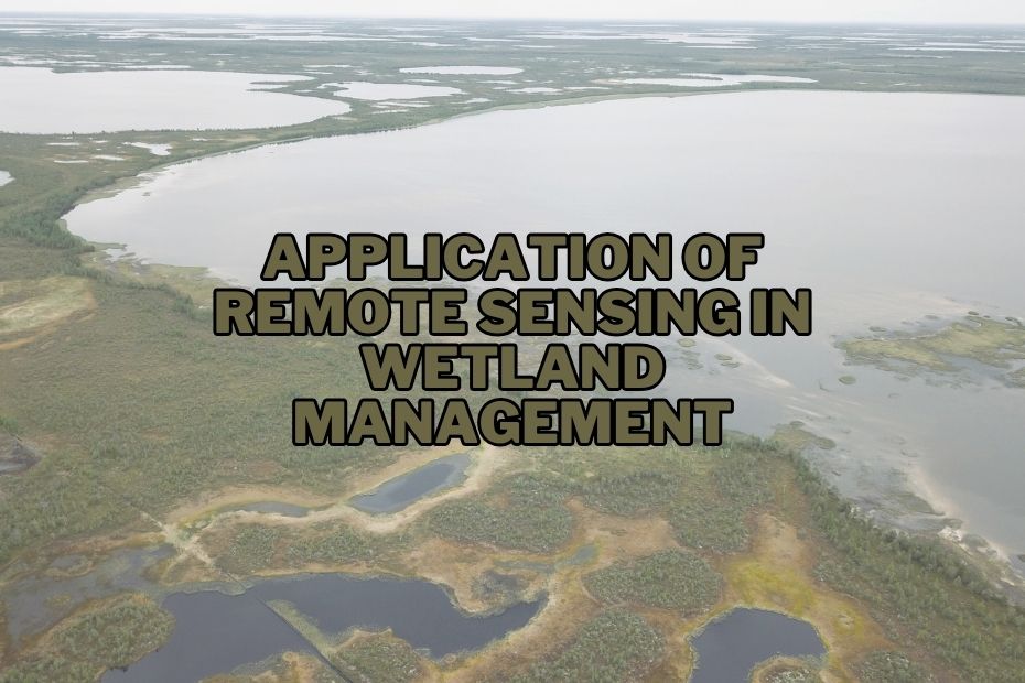
Wetlands are vital ecosystems that play a crucial role in maintaining environmental balance. They are home to diverse flora and fauna and provide numerous ecological services, such as flood control, water purification, and habitat for migratory birds. Managing wetlands efficiently is essential for their preservation and the well-being of our planet. Remote sensing, a technology that enables data collection from a distance, has proven to be a valuable tool in wetland management. In this article, we will explore application of remote sensing in wetland management.
Remote sensing in wetland management involves using satellites and drones to map wetland types, monitor vegetation health, assess water quality, and detect changes over time. This technology aids in conservation, restoration, and climate change adaptation efforts.
Application of Remote Sensing In Wetland Management
Wetlands, often considered as the “kidneys” of our planet, play a pivotal role in maintaining environmental balance. With the help of remote sensing, we can manage and conserve these vital ecosystems more effectively. Here’s how:
1. Wetland Mapping and Classification
One of the primary application of remote sensing in wetland management is mapping and classification. Remote sensing tools, such as satellites and drones, can capture high-resolution imagery that helps identify different wetland types and their boundaries. This information is crucial for effective conservation and restoration efforts.
Wetlands can be categorized into various types, such as marshes, swamps, and bogs. Remote sensing enables us to distinguish between these types based on their vegetation, hydrology, and topography.
2. Vegetation Monitoring Using Remote Sensing
The health of wetlands heavily relies on the condition of their vegetation. Remote sensing technology allows us to monitor vegetation changes over time. By analyzing the spectral signatures of wetland plants, we can assess their health, detect invasive species, and track the impact of human activities.
3. Hydrological Assessment through Remote Sensing
Understanding the hydrology of wetlands is crucial for their management. Remote sensing provides valuable data on water levels, flow patterns, and groundwater interactions. This information helps in making informed decisions about water management and flood control.
4. Analyzing Water Quality with Remote Sensing
Water quality is a critical factor in wetland health. Remote sensing instruments can measure water parameters such as turbidity, temperature, and nutrient levels. This data is vital for assessing the overall condition of wetlands and identifying potential pollution sources.
5. Wetland Change Detection Using Remote Sensing
Wetlands are dynamic ecosystems that constantly change due to natural processes and human activities. Remote sensing allows us to detect and monitor these changes. Whether it’s land use alterations or shifts in vegetation patterns, remote sensing technology helps in keeping track of wetland transformations.
6. Shoreline Erosion Monitoring with Remote Sensing
Shoreline erosion is a common issue in many wetlands. Remote sensing tools can provide valuable information about shoreline changes, erosion rates, and sediment movement. This data aids in developing erosion control strategies.
7. Bird Migration Studies with Remote Sensing
Wetlands are crucial stopover points for migratory birds. Remote sensing technology enables researchers to study bird migration patterns by tracking their movements and habitat usage. This information is vital for bird conservation efforts.
8. Wetland Restoration Using Remote Sensing
Restoring degraded wetlands is essential for their long-term health. Remote sensing assists in identifying areas that require restoration and monitoring the success of restoration projects. It also helps in selecting appropriate plant species for revegetation.
9. Habitat Suitability Analysis with Remote Sensing
To ensure the survival of wetland species, it’s essential to assess habitat suitability. Remote sensing provides data on vegetation structure and water availability, allowing researchers to determine the suitability of wetland habitats for specific species.
10. Wetland Health Assessment via Remote Sensing
Monitoring the overall health of wetlands is an ongoing process. Remote sensing technology offers a means to assess wetland health by analyzing various parameters, including water quality, vegetation cover, and habitat diversity.
11. Monitoring Climate Change Impacts with Remote Sensing
Climate change poses significant threats to wetlands. Remote sensing helps in monitoring these impacts by tracking temperature changes, sea-level rise, and shifts in precipitation patterns. This data is crucial for adapting wetland management strategies.
12. Public Awareness and Remote Sensing
Public awareness plays a vital role in wetland conservation. Remote sensing imagery and data visualization can engage the public by showcasing the beauty and importance of wetlands. This, in turn, can lead to greater support for conservation efforts.
Conclusion:
In conclusion, remote sensing technology has revolutionized wetland management. From mapping and classification to monitoring climate change impacts, it provides a comprehensive toolkit for preserving these invaluable ecosystems. By leveraging the power of remote sensing, we can ensure the long-term health and sustainability of wetlands, benefiting both the environment and future generations.
FAQs: Application of Remote Sensing In Wetland Management
How does remote sensing technology help in wetland mapping?
Remote sensing technology captures high-resolution imagery that aids in identifying wetland types and boundaries, facilitating effective conservation efforts.
Can remote sensing help in wetland conservation efforts?
Yes, remote sensing is valuable for wetland conservation. It enables early detection of illegal activities, such as deforestation or habitat destruction, and supports the development of sustainable management strategies to protect these critical environments.
How does remote sensing technology contribute to wetland restoration projects?
Remote sensing aids in the selection of suitable wetland restoration sites by providing detailed information on landscape features, water flow patterns, and existing land use, facilitating more efficient and effective restoration efforts.
Are there any specialized tools or software for remote sensing in wetland management?
Yes, there are specialized remote sensing software and tools designed for wetland management, such as ENVI, ERDAS IMAGINE, and ArcGIS. These tools assist in processing and analyzing remote sensing data specific to wetland ecosystems.
