Geologic Map Guide: Earth Science & Rock Formations
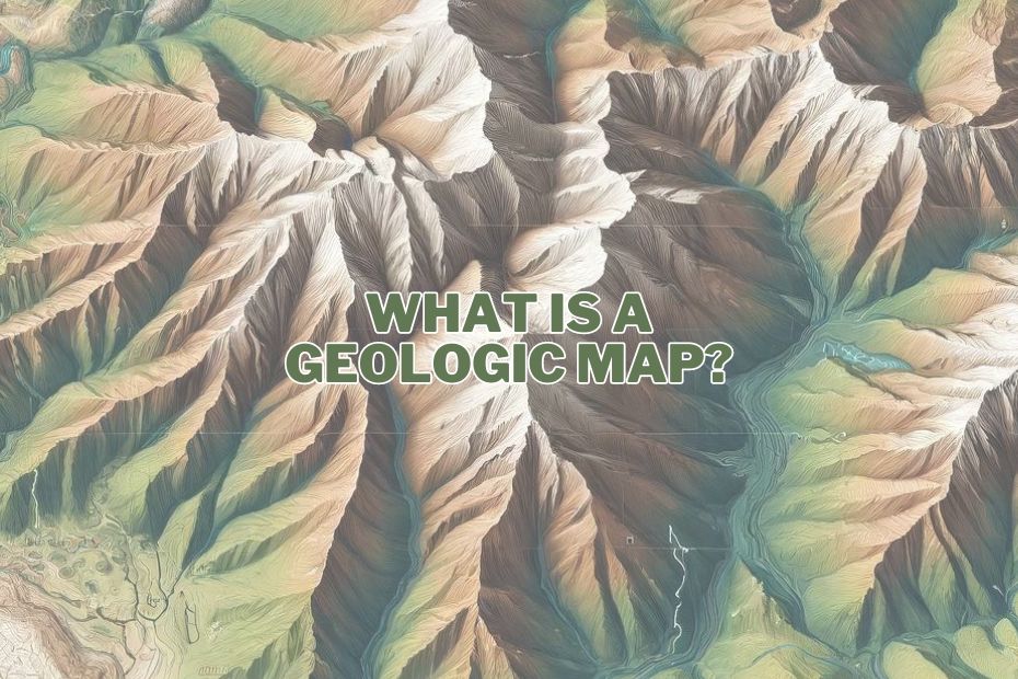
When we consider maps, most think of road maps or digital GPS navigation. However, another type of map plays a… Read More »Geologic Map Guide: Earth Science & Rock Formations
When we consider maps, most think of road maps or digital GPS navigation. However, another type of map plays a… Read More »Geologic Map Guide: Earth Science & Rock Formations
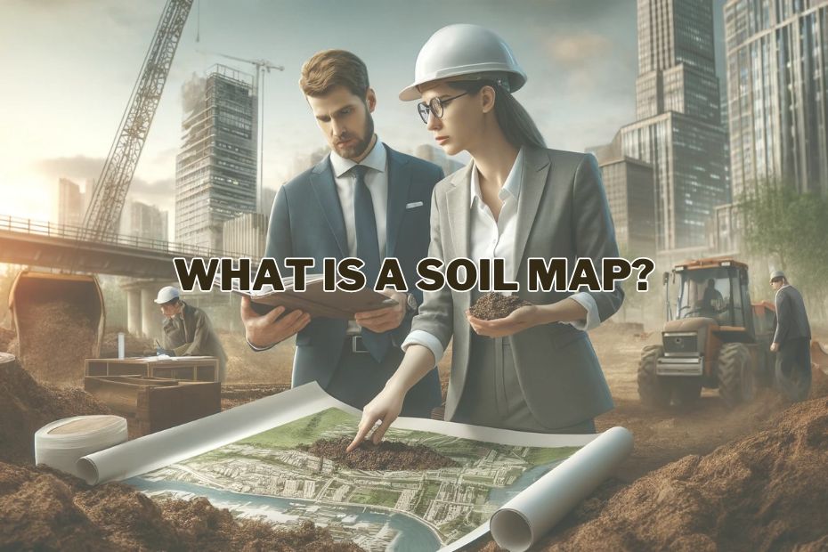
When we delve into the layers beneath our feet, we uncover a narrative that is vital not only for agricultural… Read More »Soil Map Explained: Importance for Agriculture and Conservation
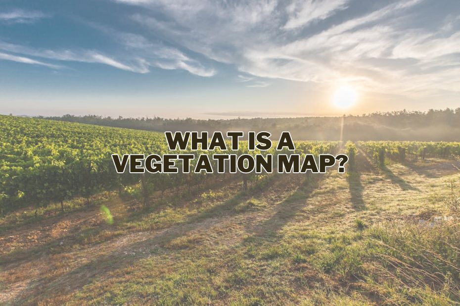
Vegetation maps serve as invaluable tools in understanding and analyzing the distribution and composition of plant life across different geographical… Read More »Vegetation Map: Understanding its Significance in Environmental Conservation
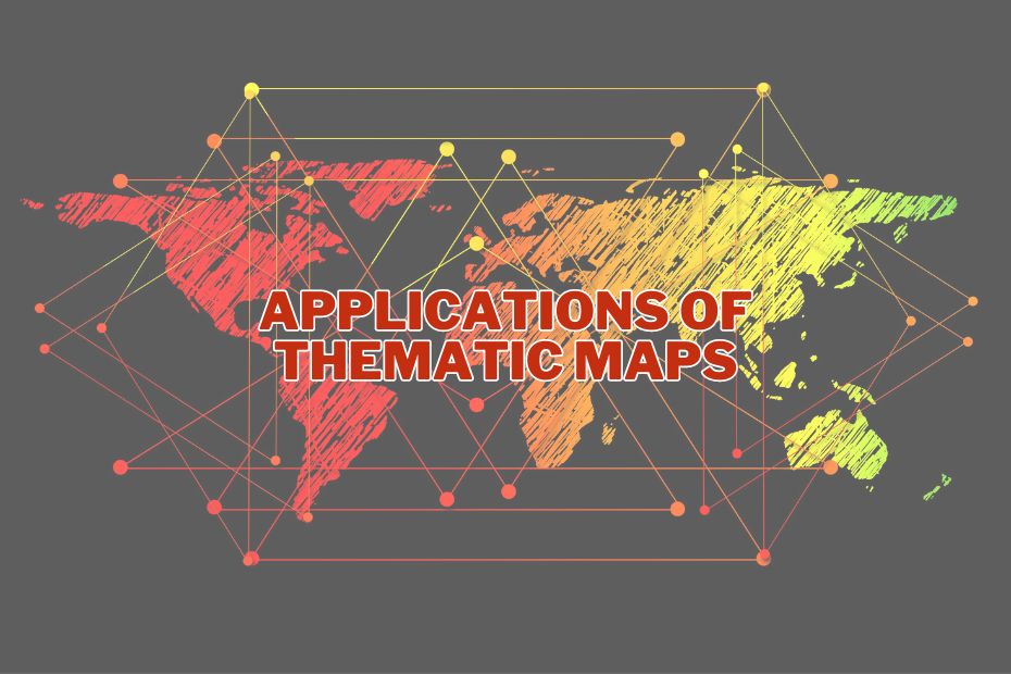
Thematic maps are a powerful tool for visualizing and conveying complex data in a simplified manner. They offer a unique… Read More »9 Applications of Thematic Maps: Uncovering Patterns and Visualizing Change
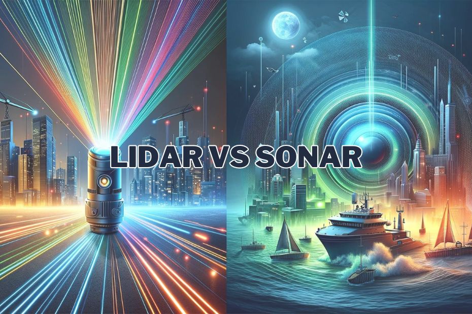
In the ever-evolving world of technology, the battle for supremacy often revolves around innovations that promise to reshape industries. Among… Read More »LiDAR vs Sonar: A Comparative Guide for Spatial Mapping Technologies
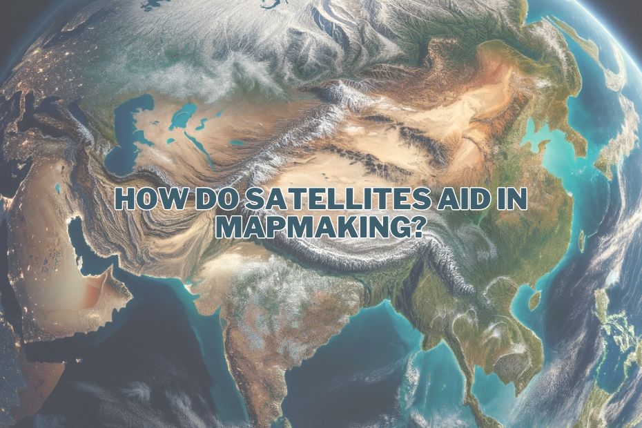
In the realm of modern cartography, satellite mapping has emerged as a game-changer, revolutionizing the way we create maps and… Read More »How Do Satellites Aid In Mapmaking? – Revolutionizing Modern Cartography
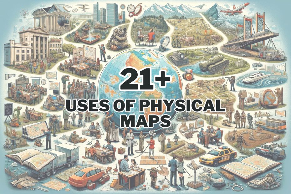
In today’s digital age, where Google Maps and GPS navigation have become our trusty companions, the significance of physical maps… Read More »21+ Uses of Physical Maps: Unveiling the World in a New Perspective
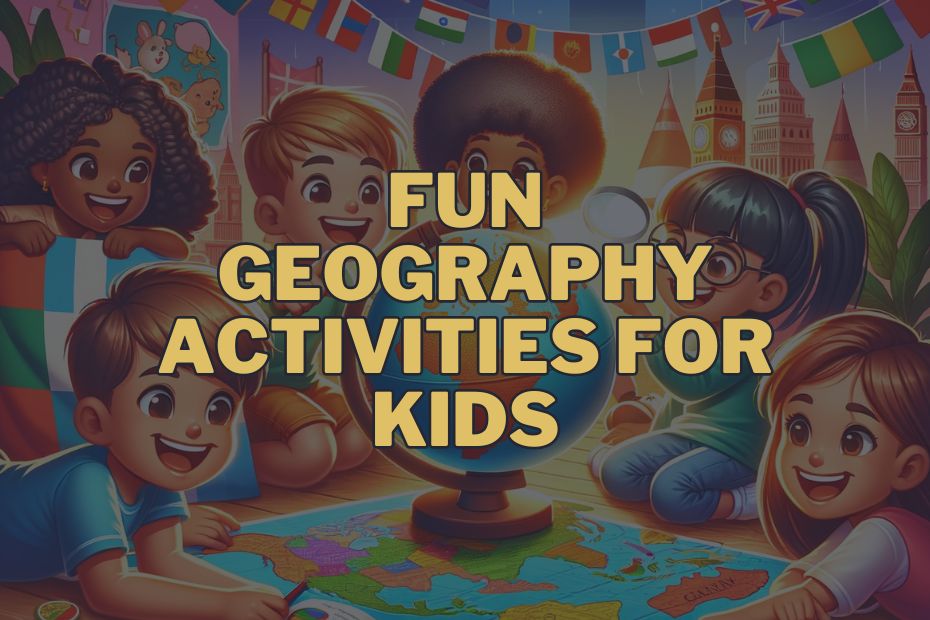
Geography isn’t just about memorizing capitals and countries; it’s a dynamic field that helps children understand different cultures, ecosystems, and… Read More »19+ Fun Geography Activities For Kids: Explore The World!
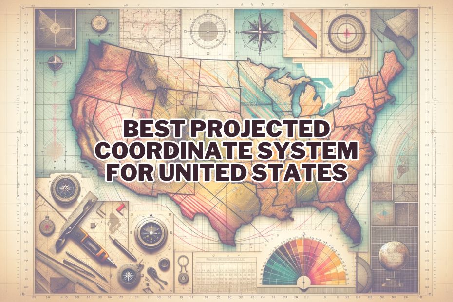
Choosing the best projected coordinate system for mapping or analyzing spatial data in the United States is a complex task… Read More »5 Best Projected Coordinate System For United States
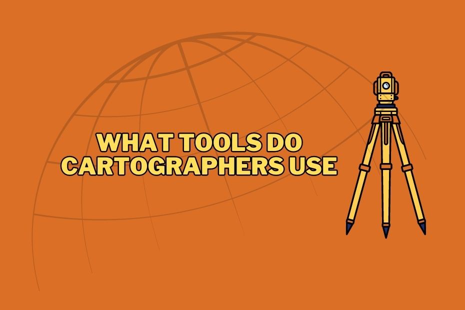
Cartography is the art and science of mapmaking, enabling us to visualize and understand the world around us. Behind every… Read More »What Tools Do Cartographers Use: From Traditional to Modern