
How To Get A Job In GIS? – Master the Art of GIS Job Hunting
Are you interested in Geographic Information Systems (GIS) and wondering how to get a job in this field? GIS is… Read More »How To Get A Job In GIS? – Master the Art of GIS Job Hunting
Are you interested in Geographic Information Systems (GIS) and wondering how to get a job in this field? GIS is… Read More »How To Get A Job In GIS? – Master the Art of GIS Job Hunting
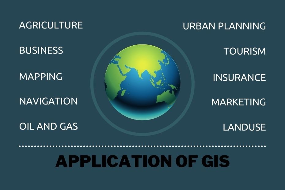
GIS stands for Geographical Information System. It is a tool that aids in mapping and analyzing various data, such as… Read More »33+ Application of GIS and Its Uses: What Is It, And Why Should You Care?
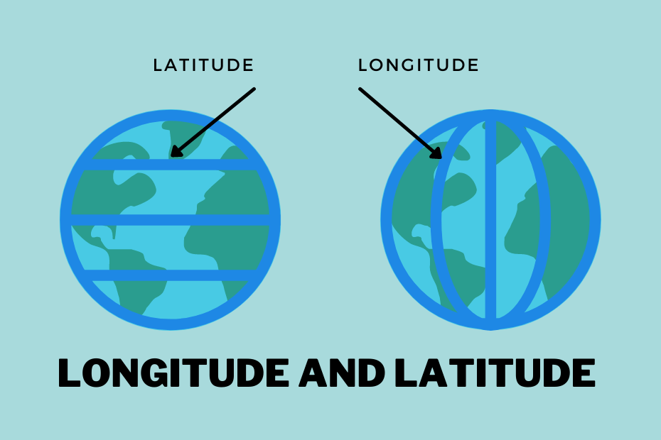
Longitude and latitude lines are fundamental components of the geographic coordinate system that helps us understand and navigate the Earth’s… Read More »A Simple Guide To Longitude and Latitude Lines

If you are interested in making a career in GIS but don’t know where to start, then the following article… Read More »GIS Projects Ideas: 11+ Great Ideas To Get Started
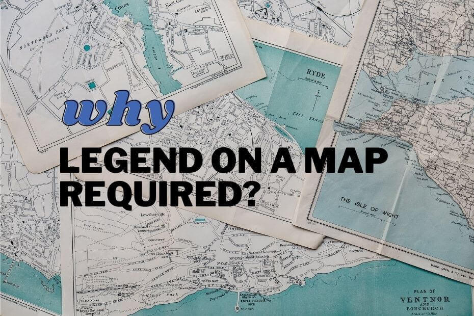
Legend on a map is one of the most important elements of cartography. It contains all the information about symbols… Read More »Legend On A Map: Symbols Explained & How They Affect Your Maps
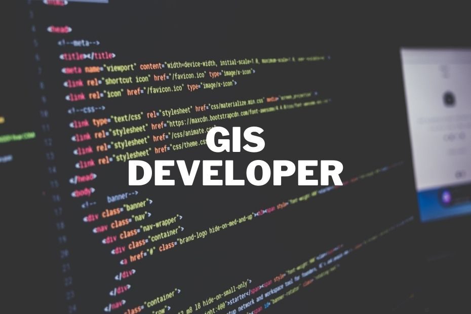
Many companies are looking for new ways to use GIS and improve their efficiency. GIS developers are in demand, but… Read More »A GIS Developer Job Description: Your Complete Guide To Getting Started
GIS Salaries depend on the geographical location, company size, experience and education. GIS is a constantly growing industry. It is… Read More »GIS Salaries: How Much Do GIS Professionals Make?

The military has been using cartography, or mapping, for centuries. From communicating troop movements to communicating with airstrikes, the accuracy… Read More »Application of GIS In the Military: The Importance of GIS for Military Operations

Satellite imagery has been crucial data in the GIS and remote sensing fields for years. Free satellite imagery services offer… Read More »11+ Free Satellite Imagery Services for Mapping, GIS, and Remote Sensing
GIS is primarily used for recording, analyzing, and storing information about spatial entities according to their geographic locations. The use… Read More »The Complete Guide To GIS In Archaeology And Its Applications For Survey Data