Building a GIS portfolio is important to get you noticed by potential employers. With a strong portfolio, it will be much easier to get your next job. The key is to build an online presence that can help you stand out and show employers what you can do. Here are some ways to build your GIS portfolio and also some entry-level GIS portfolio examples.
What is a GIS Portfolio?
A GIS portfolio consists of different components such as maps, images, or story maps that portray your work with GIS. This will allow potential employers to see what you can do with GIS and how your skills match their requirements. You may also need to have some samples in order to get an interview in the first place.
Reasons Why You Need to Create a GIS Portfolio
A GIS portfolio is a crucial part of a geographic information systems professional’s job search. So, what are the benefits, and why should you invest your time and effort in creating one?
A GIS Professional may have spent years and extensive resources studying and acquiring knowledge of a field, but if they don’t showcase this knowledge within their portfolio, all their hard work will be for nothing.
I’m not kidding when I say having a killer GIS portfolio can change your life. Creating an eye-catching, informative, and professional-looking portfolio has never been easier. Give yourself the edge you deserve today!
There are at least two important reasons why you need to create a GIS portfolio.
First, it’s a necessary step in advancing your career. Your geospatial portfolio makes it easier to network in the industry.
Second, it can be used as an asset to market yourself for different job titles. It makes you more attractive to potential employers and convinces them of your qualifications.
Benefits of Digital Geospatial Portfolio?
A digital geospatial portfolio is a powerful marketing tool. It provides a convenient way to organize and share different projects in one space. A portfolio lets you demonstrate your skills and show your creative process.
It also allows you to include examples of your work-related activities and extracurricular projects.
Below is the reason why you should choose a digital gis portfolio for yourself.
Benefits of Digital GIS Portfolio?
- It’s accessible from anywhere, you can update it as often as you need.
- It will help in your job search or application process.
- You can share and send your GIS Portfolio easily on the internet.
Employers can get an in-depth view of your experience and education credentials. They are also able to learn more about your personality through the types of projects that you have worked on in the past.
A well-crafted gis portfolio can increase your chances of landing the perfect job offer, but what should it include?
What To Include In A GIS Portfolio?
Keep reading for tips on how to create a portfolio that will make you stand out from the crowd. A well-rounded portfolio will include your resume, your academic transcripts if you are applying from an undergraduate institution, work experience (both paid and voluntary), and any awards or accolades you may have received.
Make An Online Curriculum Vitae
A curriculum vitae provides a snapshot of your experience and skills in one document. It is often required when applying for a job or to an educational institution. It can be used to evaluate your strengths and weaknesses, and help you identify what further education or training might be needed.
Create Links To Your Projects
Employers looking for map-making skills may be interested in your previous projects. Seeing some of the work you’ve done beforehand, they will have a context for understanding what you can do for them.
Showcase Your GIS Work
Include work samples that showcase your skills in the field of GIS mapping, data visualization, modelling, etc.
The best way to use your portfolio is to show off your greatest work. Show off your best skills and talents as a GIS Professional by highlighting them in a portfolio that showcases just how well you are at what you do.
Create An Interactive Map And Share It On ArcGIS Online
Maps are a great way to make your content stand out and grab the attention of your audience. They’re even more effective when they’re created with visuals that complement your information and text content.
Maps can serve as a tool to communicate information faster, in a clearer way, and with greater impact than text alone. It is an excellent way to tell a story that engages readers.
You can use ArcGIS Online Platform to create online maps (story maps) for your GIS Portfolio.
Note: It is also advised for students to take courses in geography, cartography, computer science, and statistics. You should include courses details in your portfolio.
Tools To Make GIS Portfolio?
A personal/professional GIS portfolio is a great way to showcase your skills and experience to potential employers. You need some tools to create your online presence or your geospatial portfolio.
Here are some of the tools that you can use to create your digital gis portfolio:
ArcGIS Story Map
A portfolio of GIS work can be easily created on the ArcGIS Online Story Map Platform. You just need to create a FREE ArcGIS Online account.
ArcGIS Online is a web-based GIS platform and it’s free for use by anyone with internet access. It can also be used to share and publish maps online and create interactive story maps with a web browser.
A map in ArcGIS Online is created by assembling map layers that show different aspects of the data being mapped. Layers are either raster datasets or vector datasets that have been uploaded from an external source, such as raster images, shapefiles, KML files, CSV files or other formats supported by the application.
Google Sites (FREE)
Google Sites is an easy-to-use website creation tool that allows you to create and share web pages. With Google Sites, you can store and organize all of your web pages in one place. You can also edit and update them from any computer or mobile device with Internet access.
You can create your geospatial portfolio using Google Sites for FREE.
Build A Personal GIS Portfolio Website
Creating a personal portfolio website is a great way to showcase your skills and experience. It can also be an effective way to market yourself for freelance work.
You can also use WordPress.Com, Weebly or Github to create your portfolio.
GIS Portfolio Examples
I have collected some of the best examples of GIS Portfolio, take a look at these portfolio examples.
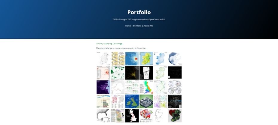
This GIS Portfolio is created by: Heikki Vesanto, He created this portfolio to showcase his work as a GIS Professional.
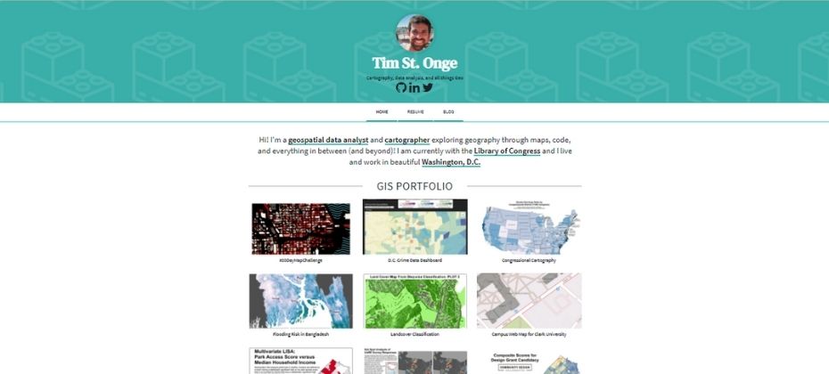
Tim is a geospatial data analyst, you can check his gis portfolio from the above link. He has included in Resume, Map and even a Blog in his portfolio.
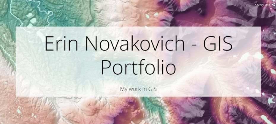
Erin Palmer created his portfolio on the ArcGIS platform. He has included his gis skills, projects and gis work experience in this portfolio.
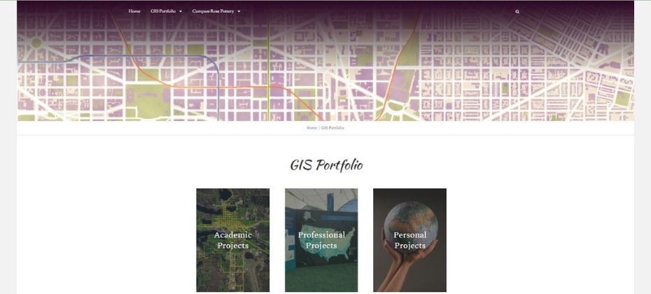
You can also take a look at Rebecca GIS Portfolio which includes Academic projects, Professional projects and as well as Personal Projects.
Conclusion: Building a GIS Portfolio
A GIS professional may not be able to sell their skills effectively without a killer portfolio. Employers and clients will often judge the portfolio before they decide to work with you.
The GIS profession is booming, and an online portfolio is a perfect way to showcases your skills, abilities and kick off your career.
After reading this blog, I hope you have learned a lot of things about the GIS Portfolio, take this knowledge and create the best gis portfolio for you to showcase your GIS expertise on the internet.