GIS Shapefile Viewer is a GIS application that allows you to view your GIS data in a software application or in the browser. It has all the features that you need for data viewing and analysis. You can use this for managing large datasets or complex maps.
The main objective of this application is to try and display your data in the simplest way possible so that users can efficiently interpret it without any confusion. This happens by reducing the complexity of maps, which makes them easier to understand – especially when they are using GIS shapefiles or other complex data formats.
What Is A Shapefile?
Shapefiles are a geospatial data format that is often used as the main means of representing and storing geographic data. Shapefiles are a specific type of GIS data.
The data is stored as a set of point, polyline or polygon files with the extension .shp, which can also be referenced as GIS Shapefile Format.
Shapefiles are used for geographic data modelling and spatial analysis. Similar to CAD drawings, they can be easily modified by adding or removing elements that make up the model. The files can then be easily imported into programs that support them such as ArcGIS and QGIS.
GIS Shapefile Extension
A shapefile extension is a file that can be read by the GIS software and contains information about the area on the Earth where the data has been stored. It is stored in a standard format that can be read by any GIS software.
Shapefiles are used for mapping, agriculture, engineering and many other fields. Data of different types like geographic data like point, polyline and polygon can be stored in them.
The extension of the shapefile is .shp, .shx and .dbf. These are the 3 mandatory file extensions of a shapefile.
.shp – Contains the actual geometry of the object.
.shx – Contains the Index of geometry features.
.dbf – Contains the data
Free GIS Shapefile Viewer
A shapefile is a file that is used in GIS. Shapefiles are often used for maps and other related purposes to measure distances, areas, and features. This article provides an overview of free online GIS software to visualize these shapefiles into readable data.
A common problem when you download a map from the internet and open it in your browser might be that it does not look like what you expected. The problem might lie with the resolution of the map itself or with how it was saved on your computer or browser’s cache.
Here is the list of Free Online GIS Shapefile Viewers & Free Desktop Shapefile Viewers that can be used by any user who needs to convert a shapefile into an interactive map or use the information in the file.
Free Online GIS Shapefile Viewer
You can use Online GIS Shapefile viewer to open and view shapefiles in a web browser.
There are lots of free online application that allows you to view, edit, and create shapefiles. It also supports data layers from a variety of sources including ESRI ArcGIS Desktop software.
You can convert any file into a Shapefile for easy storage and sharing. You can also interact with the data through the interactive map or by exporting it to other formats such as KML or CSV files.
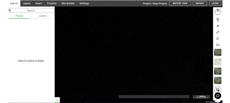
#1. Equator Studio Free Online Shapefile Viewer
Free online shapefile viewer by Equator Studio is the perfect tool for professionals who are planning to use this file in their work. Free online shapefile viewer by Equator Studio is a simple, easy-to-use tool that allows users to view and manipulate geographical datasets in an interactive way. It offers a variety of features that are helpful for spatial analysts, data journalists, and other professionals.
It can also be used for educational purposes where students can learn about geography at their own pace.
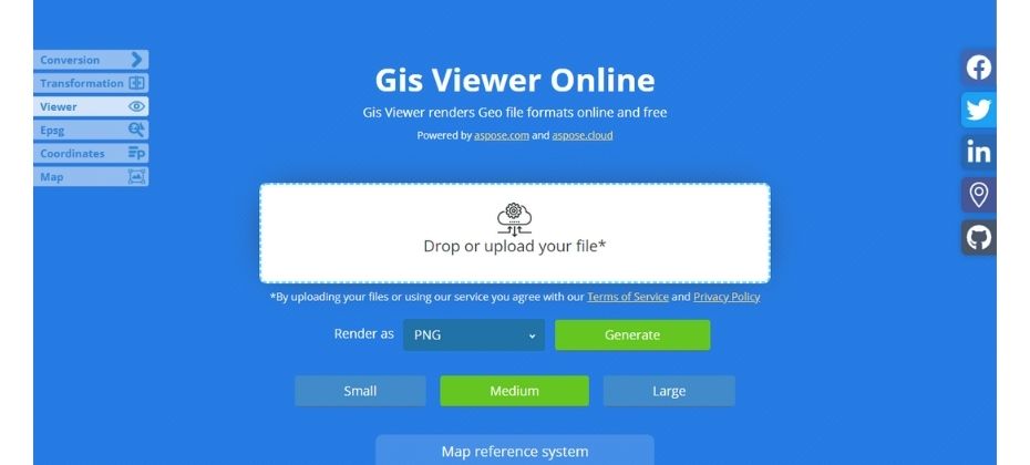
#2. ASPOSE Shape Viewer
ASPOSE Shapefile Viewer helps GIS Users to quickly view and render files from anywhere. It is an online portal that allows users to upload shapefile and GPX files.
Users can use this portal to view and transform their data with just one click. This Online Shapefile Viewer is suitable for all levels of users from beginners to professionals.
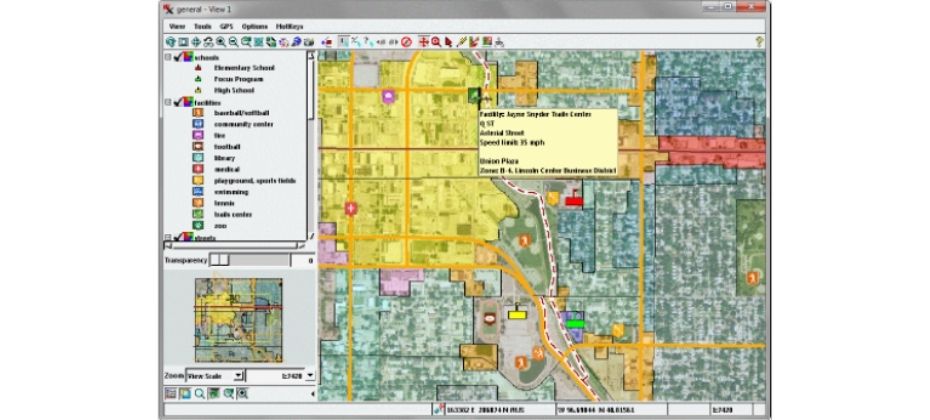
Desktop Shapefile Viewer
Desktop Shapefile Viewer is software that enables you to view, edit, and export shapefiles.
Desktop software also comes with customizable tools like the ability to switch out colours of the map with your own, support for layers, and speed improvements.
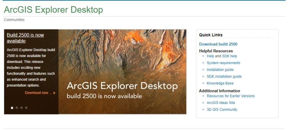
When you are looking for a desktop GIS Shapefile program that provides user-friendly features but doesn’t have a steep learning curve, ESRI’s ArcGIS Explorer Dekstop is your best bet.
#1. ESRI’s ArcGIS Explorer Desktop
ESRI’s ArcGIS Explorer Desktop is a software tool for viewing and sharing shapefiles. It allows users to view and discover their shapefiles as well as add ArcGIS Online GIS data.
Shapefiles are used to represent geographic datasets that can be viewed by ArcGIS Explorer Desktop. This viewer is helpful for those who need to navigate the data in ways that are not provided by the original program.
#2. TNTatlas
TNTatlas is a shapefile viewer that allows the user to explore and view geographic information.
TNTatlas allows users to view geodata in different file formats including shapefiles, GeoTIFF, PNG, DWG and others.
Technical Specifications of Shapefiles
Technical Specifications of Shapefiles (White Paper) is published by ESRI in 1998 contains complete details about GIS Shapefile.