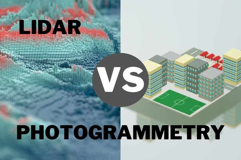
Lidar and photogrammetry are two ways to collect data for aerial mapping. Lidar is an acronym for Light Detection And Ranging, which is a remote sensing technology that uses light in the form of pulsed laser beams to measure distances. Photogrammetry is another technique that uses photos taken by ground or unmanned aircraft with typical photography equipment, including digital cameras. In this article, we will discuss more about Lidar Vs Photogrammetry techniques.
What Is Lidar?
Lidar is short for Light Detection and Ranging. If you’re an gis engineer, surveyor, or scientist who needs to map the terrain of a distant planet or measure the height of a barely visible mountain in the distance, Lidar may be just what you need.
When Lidar is turned on and pointed at something, the light is reflected off the object back to the sensor. The same sensor in the aircraft is able to read the distance between the aircraft and the target.
Lidar, which stands for Light Detection And Ranging, is primarily used for scanning by satellites, aircraft and other navigation systems.
How Does Lidar Works?
Lidar is a remote sensing technology that is used for maps, maps, and 3D models in the fields of engineering and land surveying. Lidar can produce accurate elevation data with a depth that ranges from decimeters to millimetres level depending on the mapping project. It can also be used for mapping in the field.
Lidar is a laser-based technology that uses lasers as a source of illumination and a detector of reflected light. The detector is an electronic device that processes the received signals and detects the returned light.
Pros and Cons for Lidar
In this section, we examine the pros and cons of using lidar when surveying and mapping. With the advancement in technology, it is now possible to generate a highly accurate 3D map of a geographical area with a single laser pulse.
Lidar uses light in the form of pulsed laser light waves to measure distances from an object. The pulses are timed so that they hit surfaces at different points in time and return to the receiver at different points in time. The receiver then measures this time delay and calculates a distance from the object.
Pros of Lidar
The advantages of lidar are that it is a very effective and highly accurate way of surveying and mapping. It is more effective than traditional surveying methods as it can be used to scan large geographic areas with a single pass.
- Easier to measure distances.
- Works in daylight or darkness.
- Takes measurements from a single sensor.
- Less affected by heavy rain, snow, and fog.
- Offers better accuracy.
Cons for Lidar
Lidar is a non-contact scanning technology that uses a laser to measure distances. Surveying with Lidar can be expensive and it’s not easy to integrate with other data acquisition processes.
Cost
The cost for UAV LiDAR sensor sets extends from $50.000 to over 30000, usually, the higher-end devices work in most cases and save time in postprocessing data collection making them preferable measurement tools.
Lidar Accuracy
Lidar is generally accurate in the range of 1-3cm, but it’s not perfect and it needs to be sufficient to use the data for those applications that require high accuracy.
Limitations of Lidar vs Photogrammetry for Surveying and Mapping
The limitations of Lidar vs Photogrammetry for Surveying and Mapping are the differences in accuracy, cost, and temporal resolution.
Lidar is a technology that measures distance by shooting lasers at an object and calculates the time it takes to bounce back to reach the sensor. It covers large areas more quickly than photogrammetry but is less accurate.
Photogrammetry uses aerial photography to produce a 3D representation of the surface which is more accurate than Lidar but can take longer and cost more because it requires flight time and additional equipment like cameras and GPS systems.
When To Use Lidar?
Lidar is an increasingly popular technique for surveying and mapping terrain. Surveying with Lidar offers a number of advantages, including the ability to observe the same area from multiple angles and heights. It is also more accurate than photogrammetry, which can be affected by fluctuations in light and atmospheric conditions.
What sets Lidar apart from photogrammetry is its ability to penetrate surface coverings like snow, dust, or fog. Lidar works best in clear weather with sufficient light. It may also be used in cloudy or rainy weather, but performance is degraded. Lidar is also most effective when the terrain is flat or gently sloping.
What Is Photogrammetry?
Photogrammetry is the process of creating a digital map representation of one’s environment through precision measurements. This technology is often used in the surveying and mapping industry due to its accuracy, but it can also be utilized in other industries such as forestry and agriculture.
Photogrammetry consists of using a series of photos taken in sequence in order to create a 3D digital model.
How Does Photogrammetry Work?
Photogrammetry is a technique in which a large number of photographs are taken from different angles in order to make a 3D geometry model. A person takes a series of photos in order to create a 3D digital model of their environment.
Typically, a person uses a camera on a tripod and takes multiple photos of their environment at a distance of around 100 to 200 meters, depending on the size of the area being mapped. The photos include all the textures and information that is necessary to recreate the original object.
In photogrammetry, every bit of information matters when it comes down to recreating an object in 3D. So when photographing any given object, photographers should take pictures from different perspectives so they can provide all the needed detail for each angle.
Read More: How Does Photogrammetry Works
When To Use Photogrammetry?
When considering which survey technique to use it is important to know the differences between Lidar and Photogrammetry. Lidar is best for mapping and surveying small areas, while photogrammetry can be used for larger areas where data points aren’t as dense.
LiDAR vs Photogrammetry: Which is more accurate?
LiDAR and photogrammetry are both methods of collecting data for mapping and surveying. LiDAR is a technology that uses lasers to collect elevation data, which can be used to calculate the distance between points and create 3-D maps of the Earth.
Lidar is typically used for very large areas that need high-resolution 3-D maps, such as in forestry, mining, architecture, geology, etc.
- Accuracy is greatly improved by using photogrammetry, as the points are more accurate.
- Photogrammetry is the most accurate of the 3D surveying techniques, as it uses more individual points to create a 3D model.
- Photogrammetry is also faster than Lidar.
LiDAR vs Photogrammetry
The two technologies are quite different. LiDAR is a remote sensing technology, which allows for the detection of objects without any contact with them. It is very good at measuring distance and velocity accurately.
Photogrammetry is a technique that allows for the reconstruction of 3D models by analyzing photographs taken from different angles. It relies heavily on accurate geometry and topographical data to measure distances and angles correctly, meaning that it needs accurate ground measurements to be successful.
It is very good at generating detailed texture maps for 3D models; whereas LiDAR cannot do this, it can help provide texture detail by scanning objects in high resolution with laser pulses that bounce off the object’s surface.
Photogrammetry also produces higher quality textures than LiDAR because it can capture details like scratches.
Conclusion: Lidar Vs Photogrammetry
Photogrammetry is better in terms of accuracy. It works best in areas with unaltered surfaces and in dense environments, while Lidar is great for mapping areas that are more sparsely populated.
The very first step when deciding which technology to use is to identify the requirements for accuracy. Photogrammetry can be used when an area has an unaltered surface, while Lidar is used in sparsely populated areas.