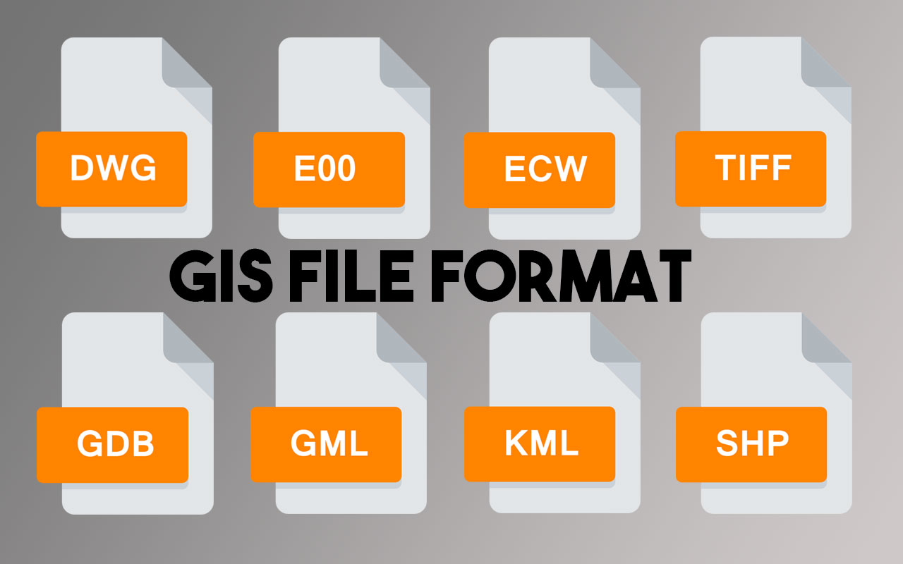
Geographical features are often stored in Raster and in Vector format. There are numerous formats available for both raster and vector data. It is necessary to consider the file format of GIS data because software programs rarely support all file types. If you want to use GIS data that was saved in a particular format not supported by your GIS program, you must either find a way to transform the data or simply use another GIS program. Below we have mentioned the list of common GIS file format used in GIS industry.
Nearly all GIS programs have their own file format. These file formats were created to optimize the efficiency of the program itself and were not designed to be used in other external programs. Nevertheless, most GIS programs support other formats by having functions to import and export datasets.
Raster GIS File Format
- ADRG — Arc Digitized Raster Graphic (ADRG) A general-purpose raster dataset for map displays on mission planning systems, Command and Control systems, and aircraft cockpits.
- Binary file — An unformatted file consisting of raster data written in one of several data types, where multiple bands are stored in BSQ (band sequential), BIP (band interleaved by pixel) or BIL (band interleaved by line). Georeferencing and related metadata pieces of information are stored in one or more sidecar files.
- Digital raster graphic (DRG) — digital scan of a paper USGS topographic map
- USGS DEM — The USGS’ Digital Elevation Model. DEM is a raster format created by the USGS (US Geological Survey) for saving elevation data. Cell values in DEM represent the elevation for that position on the Earth’s surface.
- GTOPO3O — Large complete Earth elevation model at 30 arc seconds, delivered in the USGS DEM format
- SDTS — This format is used for transferring geographical information. An SDTS format is used specifically for transferring raster data.
- ECRG — National Geospatial-Intelligence Agency (NGA)’s Enhanced Compressed ARC Raster Graphics (Better resolution than CADRG and no colour loss).
- ECW — Enhanced Compressed Wavelet (from ERDAS). A compressed wavelet format, often lossy.
- GeoTIFF — Georeferencing information to be embedded within a TIFF file.
- IMG — ERDAS IMAGINE image file format which uses a tiled format to store raster layers.
- JPEG2000 — Open-source raster format. A raster image compression format allows both lossy and lossless compression.
- MrSID — Multiresolution Seamless Image Database developed and patented (by Lizardtech). A compressed wavelet format allows both lossy and lossless compression.
- netCDF — netCDF file format with The Climate and Forecast (CF) metadata conventions for earth science data. It allows for direct web-access of subsets/aggregations of maps through OPeNDAP protocol.
Vector GIS File Format
- AutoCAD DXF – It is produced by AutoCAD. DXF is an external format for transferring files between computers or between software packages.
- DWG – DWG is an intern format for AutoCAD. A DWG file is a database of 2D or 3D drawings.
- SVG (Scalable Vector Graphics) – It is an XML-based vector image format for two-dimensional graphics Any program that recognizes XML can display the SVG image.
- Arc-Info Coverage – This is a data model for storing geographic features, both spatial and attributes using ArcInfo software. A coverage stores a set of thematically associated data referred as the item definition.
- Arc-Info Interchange (e00) – An ArcInfo interchange file, is also known as an export file type, this file format is used to enable a coverage, grid or TIN, and an associated INFO table to be transferred between different machines. This file has the .e00 extension.
- Geodatabase – It can store GIS objects in a large file, such as feature classes, feature datasets, non-spatial tables, and relationship classes. It is an organized way to store huge GIS Data.
- Digital line graph (DLG) — a USGS format for vector data and are available at 1:100,000 and 1:24,000 scales.
- Geography Markup Language (GML) — It is used in the Open GIS Consortium for storing geographical data in a standard interchangeable format, It is based on XML.
- GeoJSON — It is based on JSON, GeoJSON is an Open Standard Format designed for representing simple geographical features, along with their non-spatial attributes, it is used by many open source GIS packages.
- DGN – DGN is an intern format for MicroStation, Can be used for import/export format DGN files contain detailed visualization information (display).
- Keyhole Markup Language (KML) — XML based file format, used to display geographic data. KML files used to visualize spatial data by storing locations, image overlays and modelling information like lines, shapes. 3D images and points in an Earth browser such as Google Earth.
- MapInfo TAB format – MapInfo’s vector data format using TAB, DAT, ID and MAP files.
- Shapefile — A shapefile is stored in a set of related tiles and contains one feature class & A popular vector data GIS format.
- SOSI — a spatial data format used for all public exchange of spatial data in Norway.
- TIGER —Topologically Integrated Geographic Encoding and Referencing. It is a digital database of geographic features which includes block level maps of every village, town, and city in the United States.
- Vector Product Format — VPF is a military standard for vector-based digital map products produced by the U.S. Department of Defence (DOD).
Other GIS File Format
- Dual Independent Map Encoding (DIME) — A GIS file format, developed in the 1960s for storing geographical data.
- Geographic Data Files (GDF) — An interchange file format for geographic data and it provides detailed rules for data capture and representation, and an extensive catalogue of standard features, attributes, and relationships.
- GeoPackage (GPKG) — An standards-based open format based on the SQLite database format for transferring geospatial information both vector and raster data.
- Well-known text (WKT) — A text markup language for representing vector geometry objects on a map, spatial reference systems of spatial objects and transformations between spatial reference systems, developed by Open Geospatial Consortium.
- Well-known binary (WKB) — Binary version of a Well-known text, used to transfer and store the same information on databases.
- World file – it is a six-line plain text sidecar file for georeferencing as raster image file.