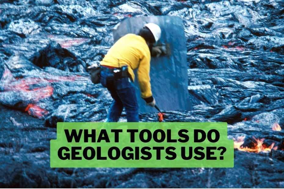
This article will help you learn about the most common tools geologists use to find oil, gas and other minerals. You’ll also learn what tools do geologists use to collect data and analyze it.
A lot of people don’t realize that geology is an incredibly important field of study. It’s a science that helps us understand how the Earth works—and it has a huge impact on our lives. When we dig up the ground, we discover valuable things like oil and natural gas. If we don’t find oil and natural gas, we can’t burn it to make energy or use it to heat our homes. In this article, I’ll explain what geologists do, how they work, and what tools they use to collect data and analyze it.
What Do Geologists Do?
Geologists are scientists that study the material that makes up the Earth. They use their knowledge to locate natural gas, minerals, and other resources. Geologists often work in exploration or production roles.
A geologist is someone who studies the earth, its history and the origin of life, as well as the composition of rocks, minerals, and fossils.
Geologists often work with scientists from other fields, such as Evolutionary biologists (who study the evolution of life), Petrologists (who study the chemical composition of rocks and minerals), and taxonomists (who study the evolution of organisms).
Geology is the science that deals with the origin and history of the Earth and its environment. Geologists study the physical characteristics of rocks and soils, the nature of their mineral components, and the processes by which they were formed. Geologists use a variety of methods to study the Earth, including fieldwork, laboratory work, and modelling.
How Do Geologists Find Oil and Natural Gas?
The search for crude oil begins with geologists who study the structure and history of rock layers below the earth’s surface to locate areas that may contain deposits of oil and natural gas. Geologists often use seismic surveys on land and in the ocean to create a map of the earth’s crust and determine where they think oil and natural gas might be found. This is known as a 3D seismic survey.
Once they find an area that looks promising, the geologists will drill into the ground to see if there is really oil or natural gas. They use a drill bit that has sensors attached to it to measure the resistance of the rock as it passes through the earth. This data is sent back to the geologists who use computers to analyze the data and make predictions about where they think the oil and natural gas are located.
What Tools Do Geologists Use?
Geologists use a variety of tools depending on the situation, but some of the most commonly used tools include Hand Lens, Rock Hammers, compasses, and field books.
Geologists are the people who have to find oil, gas, and other minerals. In order to do this, they need to understand how the earthworks. This means that they need to be able to study the rocks and minerals that make up the earth. They need to be able to find the best areas to dig and drill. They also need to know how to collect the data they need to make the best decisions. This is where the tools come in.
There are lots of different types of tools that geologists use to find oil, gas, and other minerals. Some are very simple and others are much more complicated. Let’s find out exactly what they use and how to use them.
#1. Rock Hammer
The rock hammer is a necessity for any geologist because it is used for breaking rocks. When you are learning how to draw rocks and minerals, it is important to have the right tools and equipment.
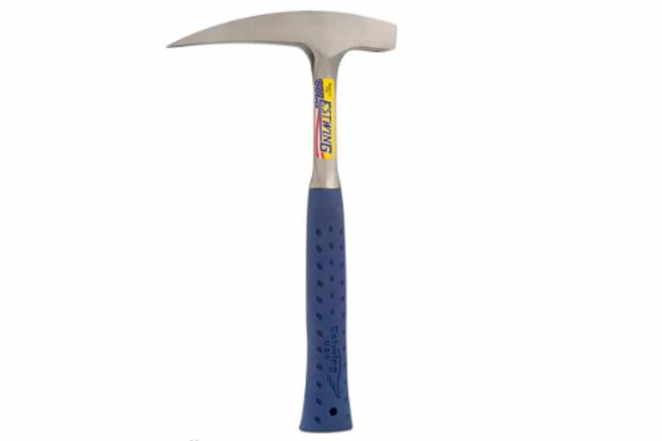
A hammer with a flat head is used to crack or break a surface of a rock, while a hammer with a pointed head is used to dig into the surface of a rock. For sampling and analysis, a hammer with a flat head is ideal because it is easier to hold onto and manipulate.
A chiselled head is used for splitting rock. It has a tapered end that is sharpened to break through hard rock. The other end is usually blunt, with a rounded shape to avoid cutting into the stone.
#2. Geological Compass
A geological compass differs from a traditional compass because it can be used to record the precise directions and angles of dipping geologic formations. This information can then be used to create geological maps of the earth’s crust.
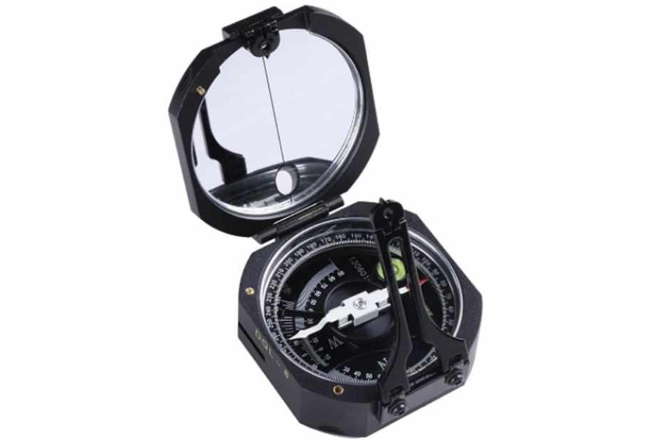
The readings with respect to the strick of a plane surface encountered in the field, are compared to magnetic north. These measurements refer to altitudes and bearings, and more colloquially as strike and dip. And each instrument requires periodic calibration for accurate the magnetic north true north values.
The Brunton compass is the tool of choice for geologists and surveyors because it is easy to use, accurate, and very versatile. The Brunton Compass can be used to measure the slopes of hills, mountains, or even the Earth’s crust.
#3. Hand Lens
I believe that every artist should have access to a hand lens. There is no better way to see details in your work than to use a hand lens.
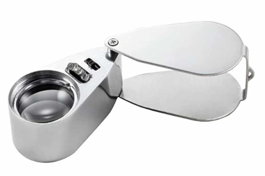
The hand lens is not only useful for looking through a rock formation but it can also be used as an extension to look through a rock formation from another perspective. For example, if you are looking at a rock formation that is close to the ground, a magnifying glass can help you see more detail in the rock formation.
#4. Field Book
A field book is a very important tool for geologists because it contains all of the information that you need to find oil, gas, and other minerals. The field book is also useful for other people, like the geologists who will be using the information in the field book.
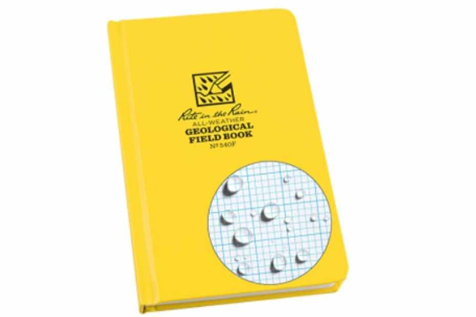
The field book contains all of the information that you need to find oil, gas, and other minerals.
#5. Geological Map
A geological map is very important for geologists because it is a map of the Earth’s crust. It shows where oil, gas, and other minerals are located. The geological map is very useful for geologists because it is the only map that can show the entire earth’s crust.
Previously, geologists used large maps and field books to find oil, gas, and other minerals. However, with the advent of the Internet, the field book has been replaced by a laptop computer.
#6. Geologist’s Tape Measure
A geologist’s tape measure is a necessity because it is used to measure distances. The tape measure is used to measure the length of a rock formation, and the height of a rock formation.
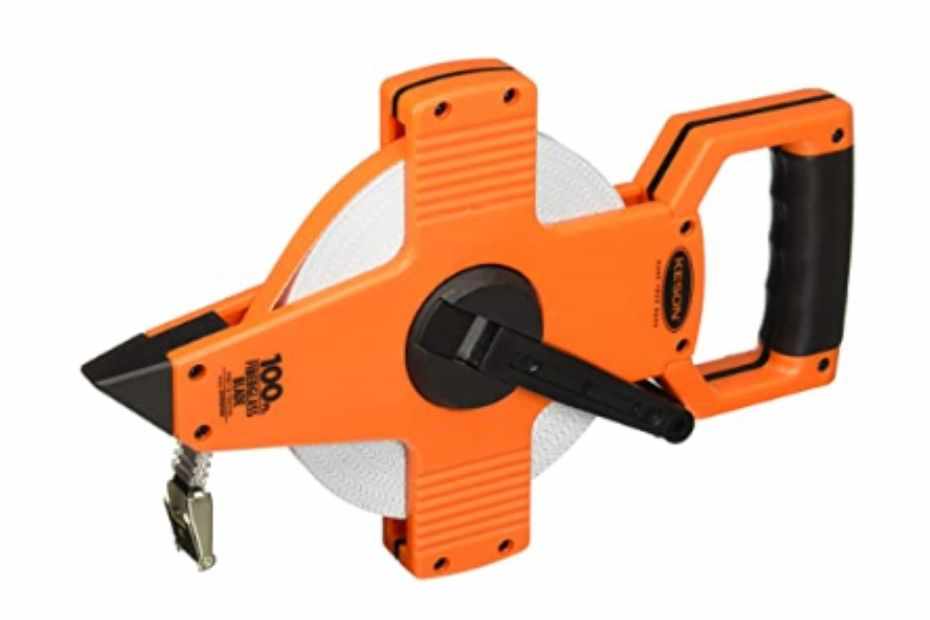
When measuring rock formations, it is important to use a tape measure that is accurate. In this situation, the accuracy of the tape measure is very important. A geologist’s tape measure is very useful for measuring the distance between two points on the Earth’s surface.
#7. Pencil Magnet
A pencil magnet is very useful for geologists because it is a compass that can be used to record the exact angles and directions of a rock formation.
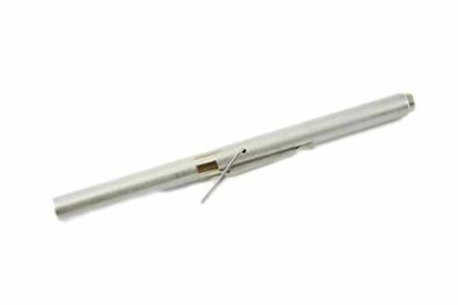
The pencil is used to make notes about the rock formations that are being measured.
#8. Rock Chisels
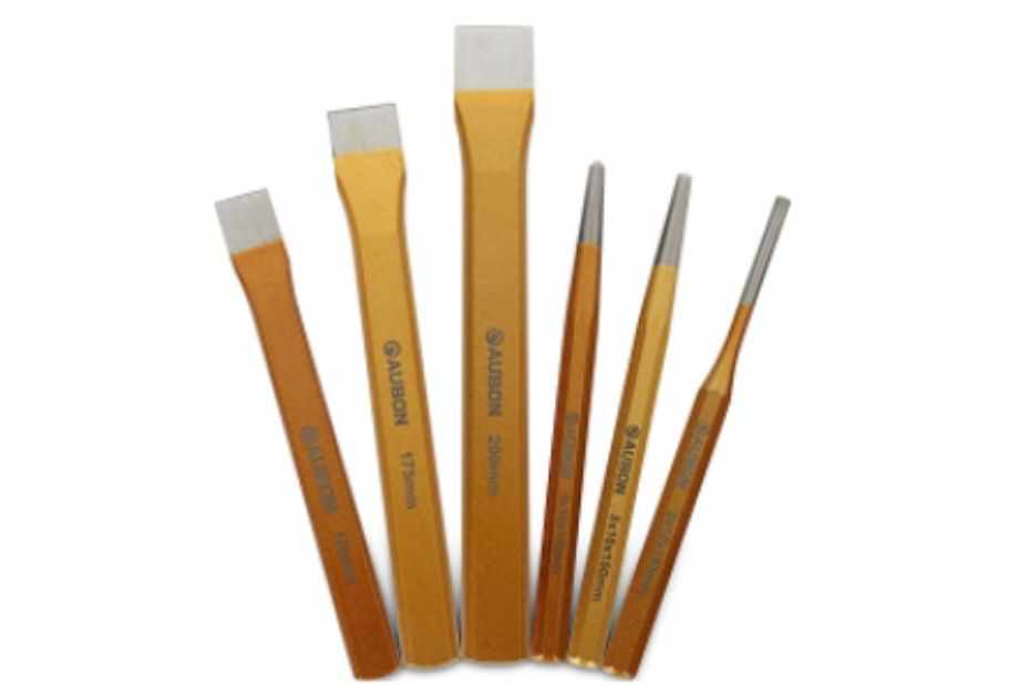
The rock chisels are very important for geologists because they can be used to pry open rock formations that are very difficult to open. The rock chisel is also used to mark the locations of rock formations.
#9. Global Positioning System (GPS)
A GPS is very important for geologists because it can be used to measure the location of a rock formation. The GPS is also very useful for geologists because it is the only tool that can be used to measure the location of a rock formation.
#10. Geologist Mapping Tool
Geologists study the rocks to find out about the history of the Earth. They use the rock samples to reconstruct events that happened billions of years ago. These samples are studied to learn more about the structure of the Earth’s crust and the processes that formed it. Scientists use microscopes, cameras, computers, and other tools to examine rocks. These tools help geologists to understand the properties of rocks and minerals.
Conclusion: What Tools Do Geologists Use?
In conclusion, you can’t just rely on a single tool to get the job done. Every geologist needs to be able to use a variety of tools to find oil, gas and other minerals. You can’t just rely on one tool to get the job done.
FAQ: What Tools Do Geologists Use?
What instruments do geologists use to study the interior of Earth?
There are a variety of instruments that geologists use to study the interior of Earth. One common tool is a seismometer, which measures earthquake waves to help map the inside of the planet. Geologists also use gravity meters to measure the strength and direction of the Earth’s gravitational field, which can give insights into the density and composition of the planet’s interior.
What tool is used by geologists to help date unknown layers?
One of the most common tools used by geologists to date unknown layers is the radiometric dating technique. This method relies on the radioactive decay of certain elements to estimate the age of a sample. Other tools used for this purpose include counting fossilized remains and measuring the levels of radioactive isotopes in a sample.
How do Google Earth tools help geologists?
Google Earth tools are used by geologists to view aerial and satellite imagery of the Earth’s surface. This imagery can be used to identify geological features and map out the location of deposits of minerals and other resources.
What does a geologist study?
A geologist is a scientist who studies the earth, its rocks, and its history.