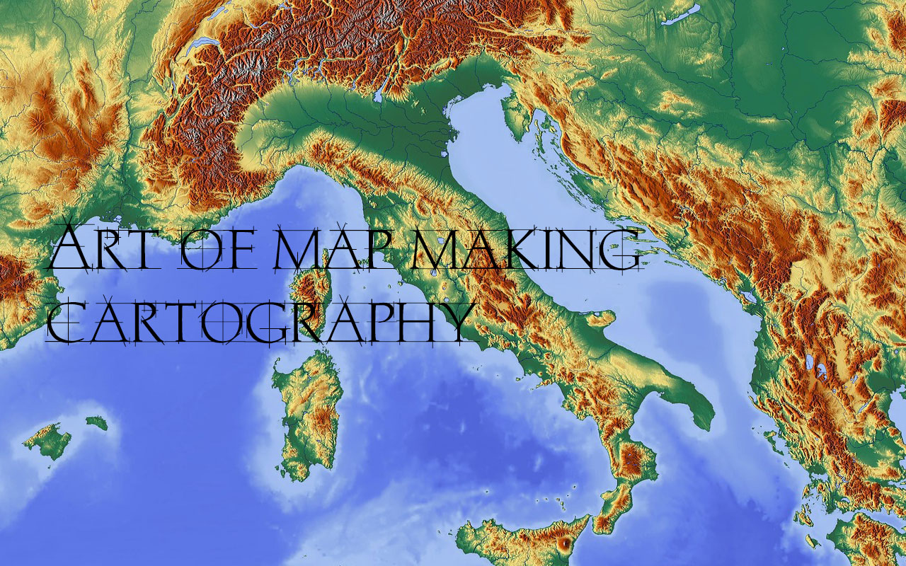
Maps make our lives infinitely easier. From finding our way around town to finding a store in a shopping mall, maps simplify the physical world. It’s not easy to make a map, however. There are countless measurements to be made, lines to be drawn, and all of it must be done with painstaking accuracy. It’s no wonder the practice of map-making is a complex one. Cartography is the practice of making maps as well as the study of maps.
History of Cartography
Cartography or map making has been an important part of the human history for thousands of years. Evidence of map making suggests that the map making evolved in many parts of the earth.
Cartography is an ancient discipline that dates from the prehistoric depiction of hunting and fishing territories.
The ancient Babylonians in 1000 B.C mapped the world in a flat circular disk, but Claudius Ptolemaeus (Ptolemy) in the 2nd century, Guide to Geography that showed a spherical Earth.
In ancient times, Chinese cartographers produced maps as early as 227 B.C. and they are more advanced and accurate than their contemporaries.
What is Cartography?
Cartography is the practice of making maps as well as the study of maps. Cartographers generally either study the history of map making or use tools and techniques to make new maps. Many take on both roles. It’s common for cartographers to have a broad knowledge base of both mapmaking history and the latest techniques.
The Modern cartography largely involves the use of aerial and satellite photographs as a base for any desired map.
Four Processes Are Involved In Cartography:
- Collecting and selecting data for mapping.
- Manipulating and generalizing the data, designing and constructing the map.
- Reading or viewing the map.
- Responding to or interpreting the information.
In order to master these processes, a cartographer must be familiar with all mapping techniques including those associated with other mapping sciences like Geodesy, Surveying, Photogrammetry, Remote Sensing and other GIS techniques.
A skilled cartographer must also know a great deal about human thought and communication (Cognitive science) and the discipline associated with environmental features being mapped.
Different Cartography Techniques
In depicting information on maps, distinctive cartographic techniques are utilized in different maps. The use of any one method for every kind of maps is not possible.
Following are some of the techniques utilized as a part of the readiness of different sorts of maps:
- Isopleth method
- Choropleth method (shading method)
- Choroschematic method (symbol method)
- Chorochromatic method (color or tint method)
- Dot method
- Diagrammatic method
ISOPLETH METHOD:
Data are represented on some maps by lines each of which is inconsistent esteem. Accordingly, a line which joins places of equivalent value in regard to some distribution is generally called as ISOPLETH. It is a combination of Greek words ISOS-(means same) and Plethron-(means measure). Thus a line on a map joining points having the same amount of rainfall is an isopleth and is called as ISOHYET.
Similarly, an isopleth connecting places of equal temperature is called an Isotherm, Isobars for equal pressure, Isobath for equal depth, Isohaline for equal salinity etc.
Isopleth is drawn at a selected and constant interval and the value of each isopleth is written at the end of the line. Isopleth never intersects or join each other. Selection of interval of Isopleth is carefully done. Number of Isopleth should neither nor too small.
Isopleth is drawn one by one taking care that an Isopleth runs through the stations representing the quantities of the same value or is interpolated proportionately between them.
The spaces between the consecutive Isopleth are shaded to show the varying values. The shade becomes darker as the value increases. It may be noted that the shades here do not stand for density per unit area and should not be thus confused with Choropleths.
The Isopleth, when drawn close together, indicate a sharp change in the values and when drawn wider apart, they show a gentle change.
CHOROPLETH METHOD:
Choropleth method or technique is employed to represent the variations in the distribution of average value per unit area within the geographical or administrative divisions by applying various cartographic shades.
It is a system of depicting the variations with the assistance of various shades or outlines which demonstrate very low, low, medium, high and very high estimations of the distribution of data. It is used to show various demographic features like the density of population, age-structure, sex-ratio, literacy levels etc. Various aspects of agriculture like land use categories, the proportion of area under different crops, cropping intensity etc. The variation in density from one administrative division to other is represented by various cartographic shades. Low densities are shown by light shades and high densities by darker shades. The contrast between various shades should be clearly discernible but not abrupt.
CHOROSCHEMATIC METHOD:
In the CHOROSCHEMATIC technique, the geographical phenomenon like soil, land use, vegetation etc. are depicted by various cartographic symbols like dots, circles, triangles, initial letters of the elements to represent on the map. This method mostly stresses on the location rather than the characteristics of the phenomenon. Neither the shape nor the color of the symbol used represents the dimension of the object. The main advantage of this method is that many elements may be shown together on a single map.
CHOROCHROMATIC METHOD:
In this method, different features of the earth like mountains, plateaus, plains, water bodies, natural vegetation etc. are shown on a map by a combination of various colors or by different shades of one color (layer tints). For example, in a vegetation map, forests may be shown by green, grasslands by yellow and desert vegetation by yellow color.
DOT METHOD:
It is a map type that uses a dot symbol to represent the presence of a feature and each dot on a map represent some amount of data. Dot maps rely on a visual scatter to show a spatial pattern, In the dot density map, areas with many or cluster of dots represent high concentrations.
DIAGRAMMATIC METHOD:
It is the method of representation of any event distribution by means of diagrams, that are placed on the map inside of the structure of territorial division (more often administrative) and that express the summarized value of this event within the limits of this territorial structure. Diagram maps are used for visual comparison of plough-lands, pastures, forest lands, etc. Since most part of the statistical information is operated by districts, regions, areas or other territorial units and not by single settlement, this method of representation is widely used in the modern cartography.
What Is A Cartographer?
A cartographer can be defined as a professional who can draw various types of maps. There are scientific, technological and artistic aspects of cartography and a cartographer should be knowing all these aspects. The data is collected through surveys, satellite images, aerial images and other such sources to create maps. Cartographers must be sensitive to the mapping needs of diverse fields. The mapping adequacy is best accomplished by treating the making and utilizing of maps similarly.
The task of map designer is to enhance the map user’s ability to retrieve the information. The great power of mapping process lies in its ability to provide fresh and insightful perspective on the man-environment relationship. In short a cartographer must be well versed in diverse fields of knowledge in order to make his drawing meaningful, observable and attractive because he has to depict the maximum of information on the minimum of space and therefore should also be well versed in conventional signs (cartographic symbols).
What Skills Do Cartographers Require?
- An interest in geography and the environment.
- A keen eye for detail as much of the work involves careful research and the collection and manipulation of data.
- Good spatial awareness and color vision, knowledge of layout design.
- IT literacy.
- Analytical ability and problem-solving skills.
- The ability to interpret data, graphical representations and symbols.