There are two essential methods used to store information in a Geographic Information System – GIS for both reflections: Raster and Vector Data Model. GIS data represents real-world objects such as roads, land use, elevation with digital data. The Real world objects or features of earth can be divided into two abstractions: discrete objects (a Tree) and continuous fields (like elevation).
Raster Data Model
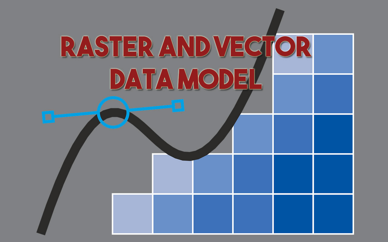
A raster data type is made up of pixel or cells and each pixel has an associated value. Digital Photography is the best example of raster data type model, anyone who is familiar with digital photography can recognize the pixels as the smallest individual unit of an image, where each pixel value in the image corresponds to a particular color and the combination of these pixels will create an image. As of now, the best example of raster data that is commonly used is Aerial photos, with only one purpose, to display a detailed image on a map or for the purposes of digitization. Raster data type consists of rows and columns of cells and these each cells stores a single value. Raster data can be images (raster images) with each pixel containing a color value. In Raster, data is represented as a grid of (usually square) cells. Each cell of a raster, stores a single value and it can be extended by using raster bands to represent RGB (red, green, blue) colors.
Raster Data Model Advantages
1. Better for storing Image data.
2. A powerful format for statistical and spatial analysis.
3. Easy and efficient overlaying.
4. Simple Data Structure.
5. Same Grid Cell for several attributes.
Raster Data Model Disadvantages
1. Dataset can be large, storage space can be a problem.
2. Network analysis is difficult to perform.
3. Loss of information when using large cells.
4. Insufficient projection transformation.
5. Difficult in a representation of Topology connections.
Vector Data Model
Vector data represent the features as an individual point, and they are stored as pairs of (x, y) coordinates. If these points are joined, they create a lines feature, or if they joined into a closed ring, they create a polygon, but all vector data fundamentally consists of lists of coordinates that define vertices and paths. Vectors are frequently used in all kinds of applications. One common area is urban planning, where land parcels and buildings are often represented as polygons, roads as polylines or polygons (road edge), and small features like telephone poles are represented by points.
Geographical features are best to represent by below-mentioned types of geometry:
Points When geographic features are too small to represent as polygons, points features are used; in other words, simple location. For example, the locations of Trees, depth, Point Of Interest. These vector points are simply XY Co-ordinates.
Lines or polylines vector lines or polylines connect with each vertex with paths, they usually represent features that are linear such as rivers, roads, railroads, and pipelines.
Polygons Cartographers used polygons to display geographic features that have an area. For example, it may include lakes, park boundaries, buildings, city boundaries, or land uses.
Vector features are group into layers and features in a specific layer have the same geometry type. For example, if a layer contains a Polygons feature, then GIS application will only allow a user to create a new polygon feature in the same layer. Each of the vector features is stored in a database along with their attributes. For example, a database that describes a Street may contain a Street’s Name, Type, speed limit. The User can perform spatial analysis with different geometries.
Vector Data Model Advantages
1. Compact data structure – Need less space for storing data.
2. Accurate Graphic output.
3. Since most information, e.g. printed version maps, is in vector form no data conversion is required.
4. Exact geographic location of data is maintained.
5. Easily make a connection between topology and network, efficient for network analysis.
Vector Data Model Disadvantages
1. The location of each vertex needs to be stored explicitly.
2. It has a complex Data Structure.
3. Difficult overlay operations.
4. high spatial variability is inefficiently represented.
5. Spatial analysis and filtering within polygons are impossible.
Raster or Vector?
While deciding whether to use a vector data model or raster data model in your work it entirely depends on the data you have as input and what your goals are for displaying or analyzing the data. There are many analysis that make use of both data models i.e. vector and raster or require the conversion of one data model to another. While conversion is a common procedure, it’s suggested that any translation between data model to be kept at a minimum to avoid accumulating error in your spatial model.
The size of the dataset should be a consideration, as raster dataset can be quite large and difficult for some workstation to process in a timely manner. Vector data model is recommended for analysis, unless modeling a continuous surface and when using a raster data model it is important to use cell sizes that are appropriate for analysis.